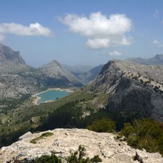
Penya de Migdia, Mountain summit in Serra de Tramuntana, Mallorca, Spain.
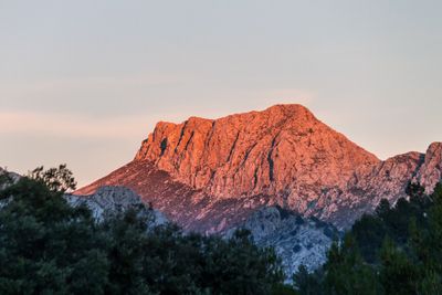
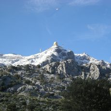
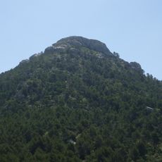
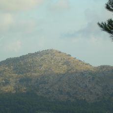
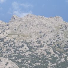
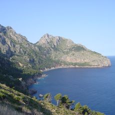
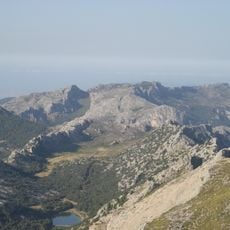
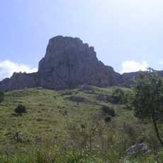
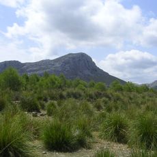
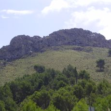
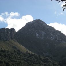
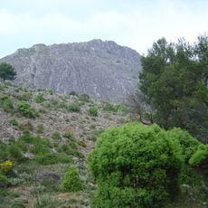
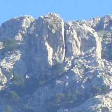
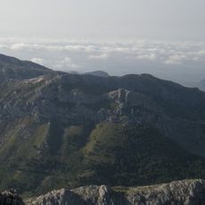
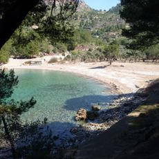
Penya de Migdia is a summit in the Serra de Tramuntana on Mallorca that reaches 1401 meters in elevation and displays sheer limestone cliffs with Mediterranean vegetation covering its slopes. The rock formations dominate the landscape and create different ecological zones that shift with altitude.
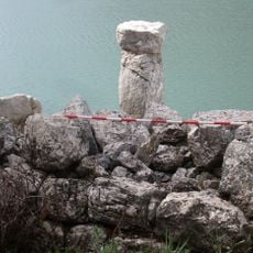
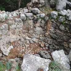
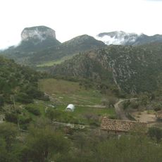
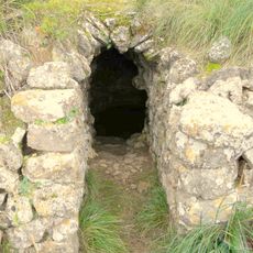
The mountain served as a key passage point since ancient times, as shown by old trails and stone paths that remain visible and were used for centuries by mountain communities. These historical routes connected different settlements and demonstrate long human presence in this area.
The peak holds significance for local people as a natural landmark and has long been connected to the sun's position at midday when viewed from surrounding valleys. This relationship between the mountain and daily cycles gives it meaning within the region's cultural identity.
Proper hiking gear and careful navigation through steep terrain are necessary for the ascent, especially during winter when snow covers the paths. Pay attention to weather conditions since conditions can change quickly and visibility may become limited.
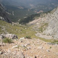
The northern rock face drops more than 500 meters vertically and creates special wind patterns that prevent heavy snow buildup despite the elevation. These air currents strongly shape the local climate and make the north and south sides of the summit quite different from each other.
The community of curious travelers
AroundUs brings together thousands of curated places, local tips, and hidden gems, enriched daily by 60,000 contributors worldwide.