Volcán del Cuervo, Volcanic crater in Tinajo, Spain
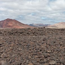
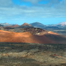
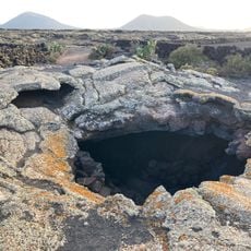
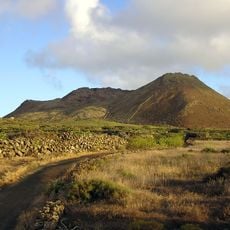
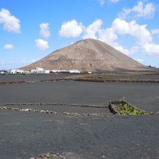
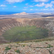
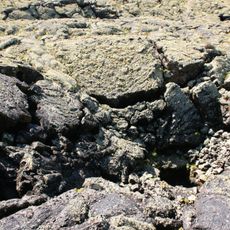
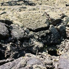
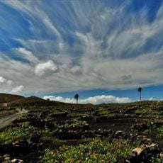
Volcán del Cuervo is a 327-metre volcanic cone in the municipality of Tinajo, in the southwest of Lanzarote. A marked path crosses dark grey lava fields and descends into the wide interior crater, where the solidified lava walls can be seen from below. The surrounding terrain is hilly to the southwest and flat to the northeast, with little or no vegetation.
The volcano was the starting point of the 1730 Timanfaya eruptions, which began six years of intense volcanic activity. These events fundamentally transformed the landscape of Lanzarote.
The volcano lies in Tinajo, about 5.7 km northwest of Tías, in a dry part of Lanzarote with little or no vegetation. The surrounding land is thinly populated, roughly 199 inhabitants per square kilometre, and the climate is arid, with July temperatures averaging 29 °C and January around 15 °C.
The crater lies about 5.7 km northwest of Tías, with the summit at 327 metres above sea level. The surrounding terrain is hilly to the southwest and flat to the northeast, and the area is arid with little or no vegetation. Carry water and sun protection, as shade is scarce.
The summit stands at 327 metres above sea level, not 388, and the surrounding terrain is barren with little or no vegetation. The nearest larger settlement is Tías, about 5.7 km to the southeast. The area is fairly densely populated, with roughly 199 inhabitants per square kilometre.
The community of curious travelers
AroundUs brings together thousands of curated places, local tips, and hidden gems, enriched daily by 93,933 contributors worldwide.