Enable Location

We need your location to show you interesting places around you

Discover nearby places

Find interesting locations and hidden gems around you

Precise directions

Get accurate directions and distances to places

Your location is never shared with other users. It's only used when you tap the location button.

Cerro de los Almadenes

Log in to your account

Start exploring — it's free

Trusted by 62,107 travelers worldwide

Continue with Google
Continue with Apple
or

We will send you a code to connect

By continuing, you accept our Terms and Conditions and our Privacy Policy

Check your inbox

We've sent a pincode in your inbox. Please enter the code below.

Cerro de los Almadenes

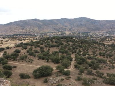
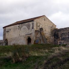
Cerro de los Almadenes, Archaeological site in Otero de Herreros, Spain

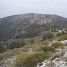
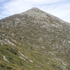
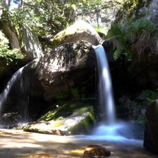
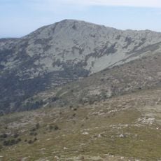
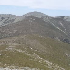
Cerro de los Almadenes is an archaeological site on a granite hilltop with copper deposits near the Sierra del Quintanar in Segovia province. Two streams, the Arroyo de la Escoria and Arroyo del Quejigal, flow through the area and shaped where ancient mine entrances and water channels were positioned.

The site dates to Roman times, when people smelted and worked metals there, as evidenced by furnace structures and metal remains. A research team from the Spanish Society of Archaeological History has conducted excavations since 2009, steadily uncovering more about this ancient metalworking.

The hilltop was a metalworking center for generations, and local people knew it as a place where miners extracted copper ore and workers processed metal. The traces of this labor remain visible in the landscape today, reflecting the skills of those who worked there long ago.

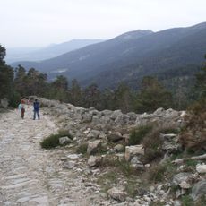
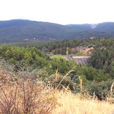
The terrain is hilly and cut by streams, so sturdy footwear and careful footing are important. It is best to visit during dry weather when paths are more stable and the scattered remains are easier to see.

In the 18th century, Josef Aparicio Calatrava drew detailed sketches of the slag deposits, providing the first documented record of the site's mineral wealth. These early records later helped archaeologists understand the scale of metalworking that took place there.

The community of curious travelers

AroundUs brings together thousands of curated places, local tips, and hidden gems, enriched daily by 60,000 contributors worldwide.

Start exploring
GPS coordinates
40.81500,-4.22000
Latest update
December 14, 2025 18:06
« Cerro de los Almadenes - Archaeological site in Otero de Herreros, Spain » is provided by Around Us (aroundus.com). Images and texts are derived from Wikimedia project under a Creative Commons license. You are allowed to copy, distribute, and modify copies of this page, under the conditions set by the license, as long as this note is clearly visible.

Discover hidden gems everywhere you go!

From secret cafés to breathtaking viewpoints, skip the crowded tourist spots and find places that match your style. Our app makes it easy with voice search, smart filtering, route optimization, and insider tips from travelers worldwide. Download now for the complete mobile experience.

Around Us App Screenshot

A unique approach to discovering new places

Le Figaro

All the places worth exploring

France Info

A tailor-made excursion in just a few clicks

20 Minutes

Around Us
Travel Guide & Maps
Download

Send to your phone

QR Code
1

Open the camera app on your mobile.

2

Point at the QR code with your camera. A notification will appear.

3

Tap the notification to open the link.