Châteauroux

Log in to your account

AroundUs is a community-driven map of interesting places, built by curious explorers like you. It grows with every review, story, and photo you share.
Connect to save your favorite spots, contribute locations, and create personalized routes.
Continue with Google
Continue with Apple
Continue with X
Continue with Facebook
Continue with email
By continuing, you accept our Terms and Conditions and our Privacy Policy
Create an account
Add to collection
Map
Suggest a change
Share

Châteauroux, Administrative center in Centre-Val de Loire, France

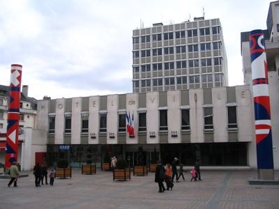
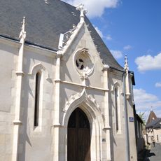
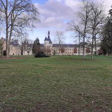
Châteauroux is an administrative center in the Indre department that spreads along the Indre River, combining modern residential districts with older quarters featuring traditional facades. The urban fabric organizes itself around several main squares and public parks that provide open space between the streets.

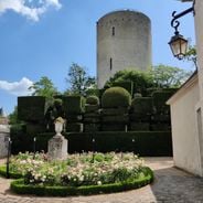
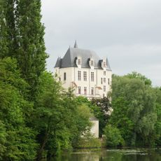
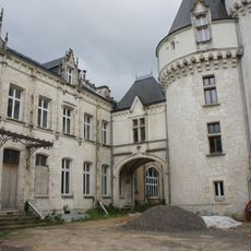
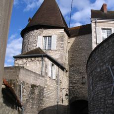
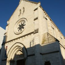
The settlement began in the 10th century when Raoul of Déols built a fortress here to control the Indre River valley. Over the centuries, it transformed from a small defensive outpost into an important regional administrative seat.

The name comes from the red sandstone used to build the 10th-century fortress, which gave the settlement its distinctive reddish hue. Visitors can still see this characteristic color on several historic buildings in the town center today.

The town is easy to explore on foot, as most points of interest lie within a compact radius. Public transport connects the different neighborhoods and links the railway station with the center.

The local airport now serves mainly as a pilot training facility for international airlines and does not operate regular passenger flights. Many flight students from around the world complete their practical training hours here in the quiet surroundings.

Location: Indre

Location: arrondissement of Châteauroux

Elevation above the sea: 153 m

Shares border with: Déols, Étrechet, Le Poinçonnet, Saint-Maur

Address: 36000 Châteauroux, France

Phone: +33254083300

Email: communication@chateauroux-metropole.fr

Website: http://chateauroux-metropole.fr

GPS coordinates: 46.80972,1.69028

Latest update: December 15, 2025 00:01

Photos
Host cities of the Tour de France 2025

The Tour de France 2025 takes place from July 5 to 27 and marks the 112th edition of this major bike race. It is one of the three biggest road cycling events of the year. This collection shows the towns where the Tour caravan will stop, from northern cities like Lille and Dunkirk to the Norman lands...

Tourism in Châteauroux: historic monuments, museums, and parks

Châteauroux features architectural heritage reflecting its medieval and religious past. The Château Raoul, a 10th-century fortress located on the heights above the Indre river, is next to the Cordeliers Convent, a 13th-century Franciscan building now used for contemporary art exhibitions. History...

Reviews

Visited this place? Tap the stars to rate it and share your experience / photos with the community! Try now! You can cancel it anytime.

« Châteauroux - Administrative center in Centre-Val de Loire, France » is provided by Around Us (aroundus.com). Images and texts are derived from Wikimedia project under a Creative Commons license. You are allowed to copy, distribute, and modify copies of this page, under the conditions set by the license, as long as this note is clearly visible.

Discover hidden gems everywhere you go!

From secret cafés to breathtaking viewpoints, skip the crowded tourist spots and find places that match your style. Our app makes it easy with voice search, smart filtering, route optimization, and insider tips from travelers worldwide. Download now for the complete mobile experience.

Around Us App Screenshot

A unique approach to discovering new places

Le Figaro

All the places worth exploring

France Info

A tailor-made excursion in just a few clicks

20 Minutes