Enable Location

We need your location to show you interesting places around you

Discover nearby places

Find interesting locations and hidden gems around you

Precise directions

Get accurate directions and distances to places

Your location is never shared with other users. It's only used when you tap the location button.

Die

Log in to your account

Start exploring — it's free

Trusted by 63,003 travelers worldwide

Continue with Google
Continue with Apple
or

We will send you a code to connect

By continuing, you accept our Terms and Conditions and our Privacy Policy

Check your inbox

We've sent a pincode in your inbox. Please enter the code below.

Discussion Reviews 2 Photos
49.8k Popularity

Die, Administrative center in Drôme, France

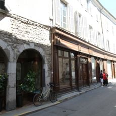
Die is a French administrative center located in southeastern Drôme at an elevation of around 410 meters (1,345 feet). The town serves as the main hub for governance and local administration of the surrounding region.

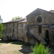
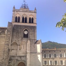
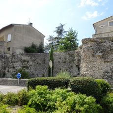
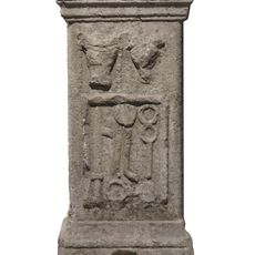
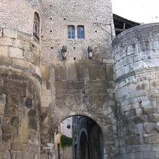
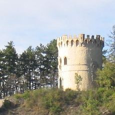
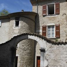
Die has roots in Roman settlement and shows continuous human presence since ancient times. Archaeological evidence in the area testifies to millennia of human activity at this location.

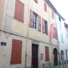
Die carries the mark of its Roman past while maintaining traditional French administrative practices in the Drôme region. The town's layout and buildings reflect centuries of continuous settlement and local governance.

The town is accessible year-round, with local administrative offices operating during standard business hours. It helps to check opening times beforehand if you need to access public services or offices.

Die functions as both a commune and an administrative division, representing two distinct levels of French territorial organization. This dual role makes it an example of how France structures its local governance across multiple administrative layers.

The community of curious travelers

AroundUs brings together thousands of curated places, local tips, and hidden gems, enriched daily by 60,000 contributors worldwide.

Start exploring
Location
Location
Elevation above the sea
654 m
Shares border with
Solaure-en-Diois, Barsac, Chamaloc, Laval-d'Aix, Marignac-en-Diois, Ponet-et-Saint-Auban, Romeyer
Phone
GPS coordinates
44.75361,5.37028
Latest update
December 14, 2025 18:47
Reviews
Share your experience

No review yet

Discussions
Start a discussion...

No discussion yet

« Die - Administrative center in Drôme, France » is provided by Around Us (aroundus.com). Images and texts are derived from Wikimedia project under a Creative Commons license. You are allowed to copy, distribute, and modify copies of this page, under the conditions set by the license, as long as this note is clearly visible.

Discover hidden gems everywhere you go!

From secret cafés to breathtaking viewpoints, skip the crowded tourist spots and find places that match your style. Our app makes it easy with voice search, smart filtering, route optimization, and insider tips from travelers worldwide. Download now for the complete mobile experience.

Around Us App Screenshot

A unique approach to discovering new places

Le Figaro

All the places worth exploring

France Info

A tailor-made excursion in just a few clicks

20 Minutes

Around Us
Travel Guide & Maps
Download

Send to your phone

QR Code
1

Open the camera app on your mobile.

2

Point at the QR code with your camera. A notification will appear.

3

Tap the notification to open the link.