Enable Location

We need your location to show you interesting places around you

Discover nearby places

Find interesting locations and hidden gems around you

Precise directions

Get accurate directions and distances to places

Your location is never shared with other users. It's only used when you tap the location button.

Mazamet

Log in to your account

Start exploring — it's free

Trusted by 61,560 travelers worldwide

Continue with Google
Continue with Apple
or

We will send you a code to connect

By continuing, you accept our Terms and Conditions and our Privacy Policy

Check your inbox

We've sent a pincode in your inbox. Please enter the code below.

Mazamet, Administrative center in Tarn, France

Description

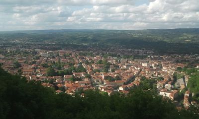
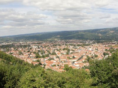
Mazamet is a French commune in the Tarn region that sits at an elevation of 241 meters (790 feet) and spans several postal zones. The town consists of different neighborhoods and small residential areas connected through a network of streets.

History

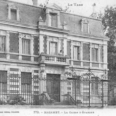
The town grew into a major administrative hub during the 18th and 19th centuries when the wool industry shaped the region's economy and growth. This early industrialization made it an important center for southern French textile production.

Culture

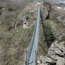
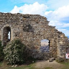
The old town of Mazamet displays typical southern French architecture with narrow streets and stone buildings shaped by generations of craftspeople. Walking through its streets, you can still see traces of this craft tradition in the aged houses and public squares.

Practical

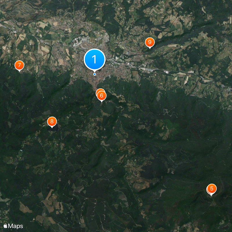
The town offers basic services and facilities for visitors and connects to neighboring communities like Castans, Payrin-Augmontel, and Pont-de-Larn. The best time to explore is during daytime when public areas are active and local shops are open.

Did you know?

The town spans two separate cantons—Mazamet-Nord-Est and Mazamet-Sud-Ouest—creating an unusual dual administrative structure within a single commune. This split arrangement offers an interesting look at how French communes can be organized.

Location
Elevation above the sea
671 m
Shares border with
Castans, Labastide-Esparbairenque, Les Martys, Mas-Cabardès, Pradelles-Cabardès, Roquefère, Aiguefonde, Aussillon, Bout-du-Pont-de-Larn, Labruguière, Pont-de-Larn, Saint-Amans-Soult
Phone
GPS coordinates
43.49167,2.37333
Latest update
December 14, 2025 18:35

AroundUs brings together thousands of curated places, local tips, and hidden gems, enriched daily by 60,000 contributors worldwide. Discover all places nearby (Tarn).

« Mazamet - Administrative center in Tarn, France » is provided by Around Us (aroundus.com). Images and texts are derived from Wikimedia project under a Creative Commons license. You are allowed to copy, distribute, and modify copies of this page, under the conditions set by the license, as long as this note is clearly visible.

Discover hidden gems everywhere you go!

From secret cafés to breathtaking viewpoints, skip the crowded tourist spots and find places that match your style. Our app makes it easy with voice search, smart filtering, route optimization, and insider tips from travelers worldwide. Download now for the complete mobile experience.

Around Us App Screenshot

A unique approach to discovering new places

Le Figaro

All the places worth exploring

France Info

A tailor-made excursion in just a few clicks

20 Minutes

Around Us
Travel Guide & Maps
Download

Send to your phone

QR Code
1

Open the camera app on your mobile.

2

Point at the QR code with your camera. A notification will appear.

3

Tap the notification to open the link.