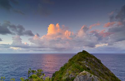
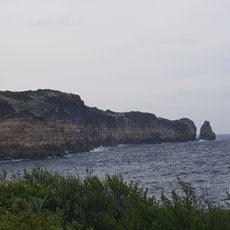
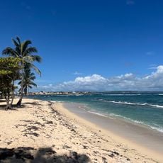
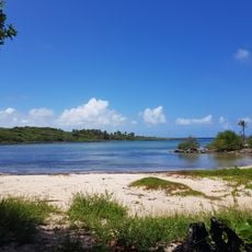
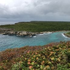
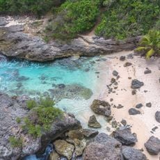
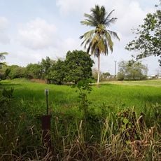
Pointe de la Grande Vigie, Peninsula at the northern tip of Grande-Terre, Guadeloupe.
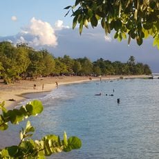
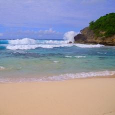
Pointe de la Grande Vigie is a peninsula at the northern end of Grande-Terre with cliffs dropping sharply toward the sea. The promontory rises roughly 80 meters above the Atlantic, offering an unobstructed view across the water from the cliff edge.
Ships have used this headland for centuries as a natural landmark to navigate between ocean passages and guide their course. The peninsula served as a reference point when maritime routes required precise positioning in the waters around Guadeloupe.
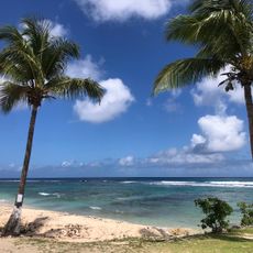
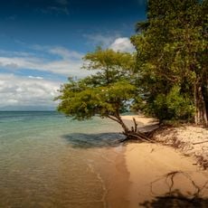
The point draws locals and visitors to observe the horizon and feel the connection between the land and open waters. It remains a place where people naturally pause to take in the vastness of the Atlantic.
The site is reachable via the N8 road from Anse-Bertrand, with parking near the main viewpoint. The walk from the car to the cliff edge is short and straightforward, though winds can be quite strong at the top.
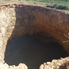
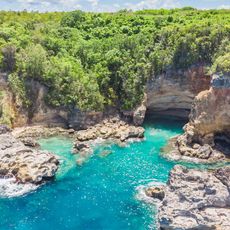
The limestone here holds marine fossils millions of years old, telling the story of when this land was underwater. These ancient remains reveal how the geological shape of Guadeloupe changed over time.
Location: Guadeloupe
GPS coordinates: 16.51422,-61.46455
Latest update: December 6, 2025 17:46
Guadeloupe has many surprises beyond its main beaches and usual tourist sites. The archipelago hosts places where nature and history come together: waterfalls hidden in the rainforest such as Acomat in Pointe-Noire, spectacular geological formations like the Gullet Grand Gouffre in Marie-Galante where sea jets reach over ten meters high, or beaches with distinct features like Anse du Souffleur in Port-Louis with its calm, shallow waters, or Cluny Beach in Sainte-Rose lined with dark volcanic rocks. These lesser-known sites also tell the story of the archipelago. The Slave Trails in Petit-Canal, carved into stone in 1830, bear witness to the island’s painful past. Fort Fleur d'Épée in Gosier, built in the 18th century, offers views over the bay and preserves its old artillery pieces. The Historic Coffee Plantation in Vieux-Habitants showcases the stages of colonial coffee production with its historic water mill. On the natural side, Petite Terre Nature Reserve near La Désirade protects two islands where sea turtles and dozens of fish species live among coral reefs. These sites encourage discovering a different side of Guadeloupe, away from the typical routes.
Habitation Zévallos
29 km
Pont de la Gabarre
30.4 km
Plage du Souffleur
12.6 km
Ancienne prison à Petit Canal
15.2 km
Église Saint-Jean-Baptiste du Moule
24.1 km
Monument aux morts des Abymes
27.4 km
Le Piton
2.7 km
Église Saint-André de Morne-à-l'Eau
20.4 km
Église de l'Immaculée-Conception des Abymes
27.4 km
Mamiel Plantation
28.8 km
Monument aux morts de Baie-Mahault
30.3 km
Plage de l'Autre Bord
24.3 km
Grande Falaise
6 km
Monument aux morts de Petit-Canal
15.3 km
Baie Du Moule
22.2 km
Monument aux morts d'Anse-Bertrand
6.6 km
Ravine du Nord-Ouest
22.3 km
Pointe De La Petite Vigie
5.4 km
Station balnéaire d'Anse Bertrand
7 km
Plage de Pointe Sable
14.9 km
Grotte de l'anse Castalia
3.3 km
Trou Madame Coco
3.7 km
Trou à Man Lwi
4.7 km
Les Marches des Esclaves
15.3 km
Port-Louis Lighthouse
13 km
Grand Cul-de-sac marin de la Guadeloupe
25.1 km
Golf école des Abymes
28.6 km
Anse Laborde Beach
5.2 kmVisited this place? Tap the stars to rate it and share your experience / photos with the community! Try now! You can cancel it anytime.
Discover hidden gems everywhere you go!
From secret cafés to breathtaking viewpoints, skip the crowded tourist spots and find places that match your style. Our app makes it easy with voice search, smart filtering, route optimization, and insider tips from travelers worldwide. Download now for the complete mobile experience.
A unique approach to discovering new places❞
— Le Figaro
All the places worth exploring❞
— France Info
A tailor-made excursion in just a few clicks❞
— 20 Minutes