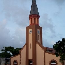
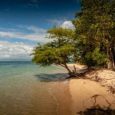
Plage de l'Autre Bord, Caribbean beach in Le Moule, Guadeloupe.
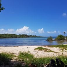
Plage de l'Autre Bord is a sandy beach in Le Moule where shallow lagoon waters are protected by a coral reef, creating calm swimming conditions. Coconut palms line the shore and provide natural shade across the beach.
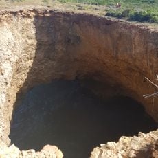
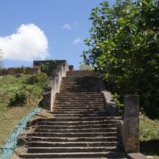
In December 2012, excavations in the western part of the beach uncovered a colonial-era cemetery, a burial area about a hundred metres long along the shoreline. The same digs, at the end of the beach road, revealed the remains of Le Moule's original settlement, occupied from the late 17th century until the cyclone of 12 September 1738. A north-south street there was lined with buildings and gardens; later rebuilding was destroyed by the cyclone of 6 October 1766, after which the town was moved to the other bank of the Rivière d'Audoin.
The name l'Autre Bord, "the other bank", recalls that Le Moule's original settlement stood here, on this side of the Rivière d'Audoin, before the town was moved across the water. Excavations in 2012 at the end of the beach road uncovered that early bourg, with a north-south street lined with buildings and gardens.
Plage de l'Autre Bord lies a few minutes from Le Moule town centre, in the direction of the port. The beach has carbets, tables and sanitary facilities, and coconut palms give shade along the sand. The lagoon is sheltered by a coral reef, so the water stays shallow near the shore.
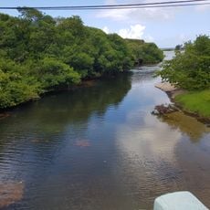
The beach sits at the mouth of the Audoin river, where the primitive town of Le Moule stood from the late 17th century until the cyclone of 12 September 1738. Excavations in 2012 at the end of the beach road uncovered a north-south street lined with buildings and gardens. After the 1766 cyclone the town was rebuilt on the other bank.
The community of curious travelers
AroundUs brings together thousands of curated places, local tips, and hidden gems, enriched daily by 92,817 contributors worldwide.