
Grand'Rivière, Administrative commune in northern Martinique, France
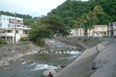
Grand'Rivière sits along Martinique's northern coast with mountains descending to the sea and a fishing harbor that anchors the settlement. The commune spreads across rugged terrain where steep slopes meet the water's edge.
Jesuit missionaries established a chapel here in the late 1600s, creating the foundation for permanent settlement in this remote northern area. The location formally became a separate commune in 1888.
The fishing port shapes daily life here, where fishermen use traditional methods and sustain maritime customs that define the northern coast.
Route N1 connects this settlement to other parts of the island by car or public bus, though the road winds through mountains and can take longer in wet weather. Most visitors arrive by driving, as it is the main access point for the area.
A metal bridge spanning 67 meters crosses the Grande Rivière river and marks the eastern edge of this northernmost settlement, serving as a striking landmark when arriving from outside. Many visitors photograph this bridge as they enter the area.
Location: Martinique
Location: canton of Macouba
Location: arrondissement of La Trinité
Shares border with: Macouba, Le Prêcheur
Phone: +33596557777
Email: villedegrandriviere97218@orange.fr
Website: https://grand-riviere.com
GPS coordinates: 14.87333,-61.18139
Latest update: December 6, 2025 17:41
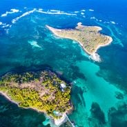
The island reveals itself beyond familiar paths with nature reserves, historic sites and remote beaches. The region contains botanical gardens, volcano museums and former plantations. The coast features black sand beaches, coves and islets. Inland areas include waterfalls, hiking trails and colonial architecture.
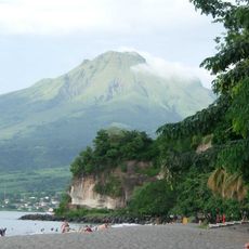
Mount Pelée
7.3 km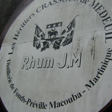
Rhum J.M.
13 km
Cachot de Cyparis
14.1 km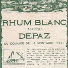
Rhum Depaz
13 km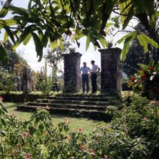
Habitation Leyritz
8.2 km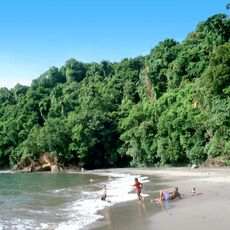
Anse Couleuvre
5.4 km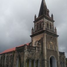
Our Lady Church
12 km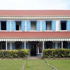
Habitation Gradis
7 km
Église du Fort de Saint-Pierre
13.7 km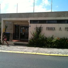
Franck A. Perret Museum
14.2 km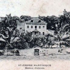
Maison coloniale de santé
13.8 km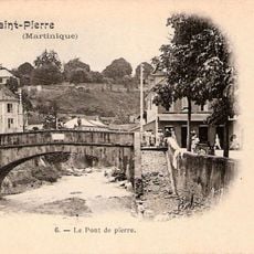
Pont Roche
13.9 km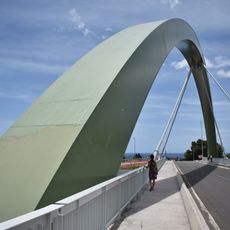
Pont du Prêcheur
9.2 km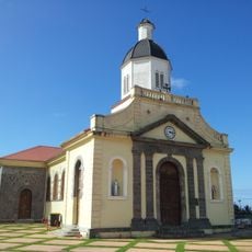
Église de l'Immaculée-Conception de L'Ajoupa-Bouillon
9 km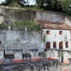
Bureau du Génie et des Ponts et Chaussées
13.7 km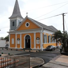
Église Sainte-Catherine de Grand'Rivière
95 m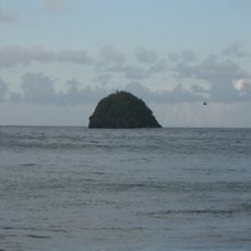
Réserve naturelle régionale marine du Prêcheur - Albert Falco
8.6 km
Rue Mont-au-Ciel
13.7 km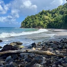
Plage de l'Anse Couleuvre
5.4 km
Église Saint-Jean-Baptiste de Basse-Pointe
7.2 km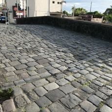
Pont militaire de Saint-Pierre
13.9 km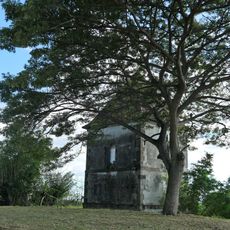
Habitation Céron
6.3 km
Céron park saman
6.3 km
Calvaire de Morne-Rouge
12.7 km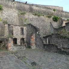
Entrepots quartier du Figuier
14.2 km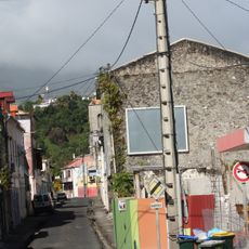
Rue Victor-Hugo
14.3 km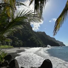
Plage de Sinai
324 m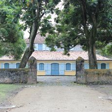
Habitation Pécoul
8.9 kmVisited this place? Tap the stars to rate it and share your experience / photos with the community! Try now! You can cancel it anytime.
Discover hidden gems everywhere you go!
From secret cafés to breathtaking viewpoints, skip the crowded tourist spots and find places that match your style. Our app makes it easy with voice search, smart filtering, route optimization, and insider tips from travelers worldwide. Download now for the complete mobile experience.

A unique approach to discovering new places❞
— Le Figaro
All the places worth exploring❞
— France Info
A tailor-made excursion in just a few clicks❞
— 20 Minutes