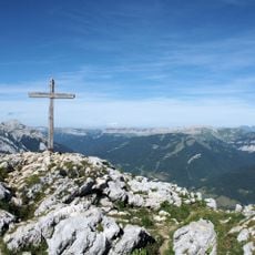
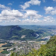
Mollard de la Chaleur, Mountain summit in Isère region, France.
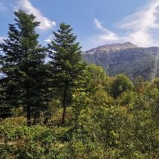
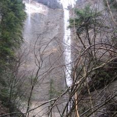
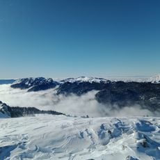
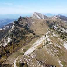
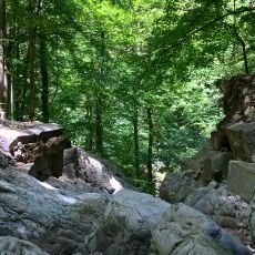
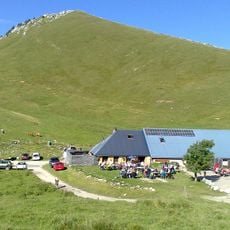
Mollard de la Chaleur is a 1776-meter summit in the Isère region with hiking trails cutting through dense forest and open alpine meadows. The terrain lies between Chalet de la Charmette and Rocher de Pré Large, offering varied landscapes at different elevations.
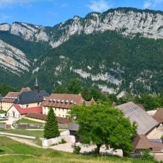
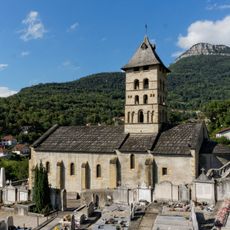
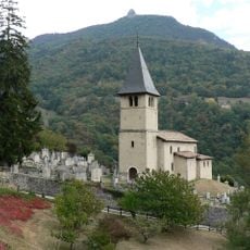
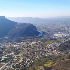
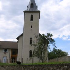
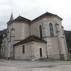
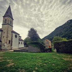
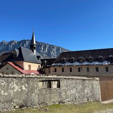
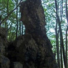
The area is part of the Chartreuse region, where historical mountain routes once connected isolated valleys. This peak served as a key landmark for local communities navigating the terrain over centuries.
The slopes are home to Mediterranean mouflons that visitors regularly spot moving across the terrain. These wild sheep have become part of the mountain's living landscape since their arrival.
The hike starts from Col de la Charmette on clearly marked paths with a 600-meter elevation gain overall. Plan for roughly five hours for the full round trip, so come prepared with good physical conditioning.
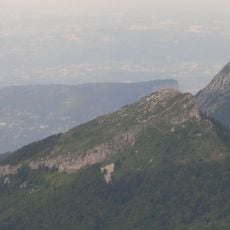
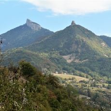
From around 1720 meters elevation along the ridge, walkers can see Grand Pic de Belledonne and Grande Sure rising in the distance. These two prominent peaks form a notable backdrop when the weather clears.
The community of curious travelers
AroundUs brings together thousands of curated places, local tips, and hidden gems, enriched daily by 60,000 contributors worldwide.