Csongrád, city in Csongrád county, Hungary
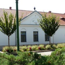
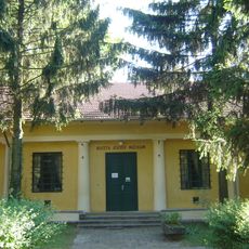
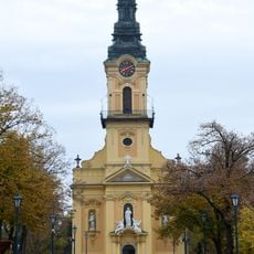
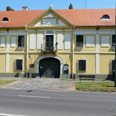
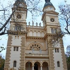
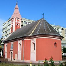
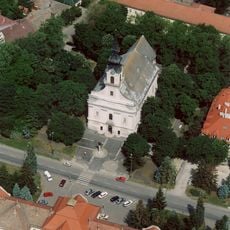
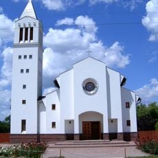
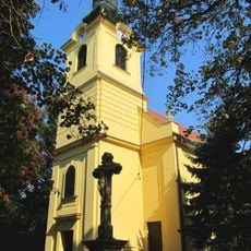
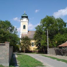
Csongrád is a small town in Hungary near the Tisza River, with quiet streets and old buildings that radiate from a central square. The town contains several churches, including the Holy Virgin Church built in the late 1700s, as well as small museums and an art gallery that display local history and regional creativity.
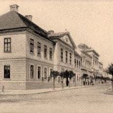
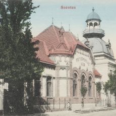
Csongrád dates back to the Hungarian Conquest period and was an important administrative center. In the 13th century it was a busy place with a fortress and castle, but suffered from a Mongol attack that caused it to decline until it regained town status in the early 20th century.
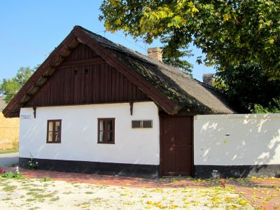
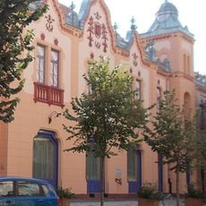
The name Csongrád derives from a medieval castle that once guarded the area and continues to shape the town's identity. The fishing houses near the river, many with thatched roofs, reflect how people once lived from fishing and local trade.
The town is easy to walk through and has a small train station along with good road connections to nearby cities. Local buses are available, and small shops and markets sell fresh food, local crafts, and souvenirs.
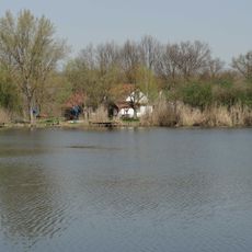
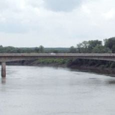
In summer, many visitors and locals come to the sandy beach and backwaters of the Tisza River. These waterside areas are home to water birds and other animals, making the region alive for nature enthusiasts.
The community of curious travelers
AroundUs brings together thousands of curated places, local tips, and hidden gems, enriched daily by 60,000 contributors worldwide.