Enable Location

We need your location to show you interesting places around you

Discover nearby places

Find interesting locations and hidden gems around you

Precise directions

Get accurate directions and distances to places

Your location is never shared with other users. It's only used when you tap the location button.

Chamarajanagar district

Log in to your account

Start exploring — it's free

Trusted by 61,554 travelers worldwide

Continue with Google
Continue with Apple
or

We will send you a code to connect

By continuing, you accept our Terms and Conditions and our Privacy Policy

Check your inbox

We've sent a pincode in your inbox. Please enter the code below.

Chamarajanagar district

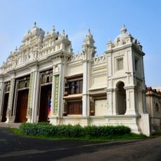
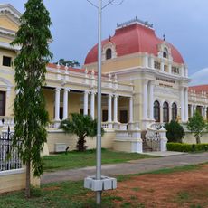
Chamarajanagar district, Administrative district in southern Karnataka, India

Description

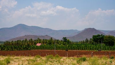
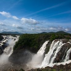
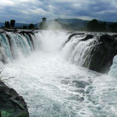
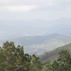
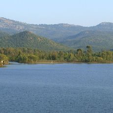
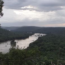
Chamarajanagar is an administrative district in southern Karnataka featuring dense forests, rolling terrain, flowing rivers, and agricultural farmland. The landscape shifts between forested areas and open fields that shape the region's character and livelihood.

History

The district formed in 1997 when Karnataka separated it from Mysore district to improve regional administration. This reorganization allowed more focused development efforts in the southern area.

Culture

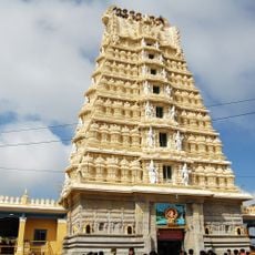
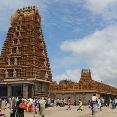
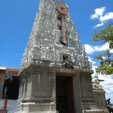
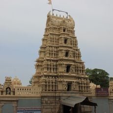
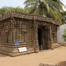
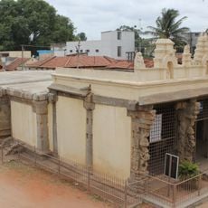
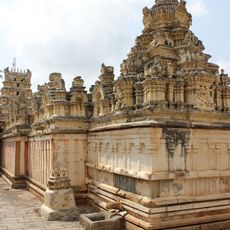
Local festivals like Dasara feature traditional music, temple rituals, and community processions that mark the yearly rhythm. Food preparation for these celebrations reflects regional culinary traditions that residents maintain and share.

Practical

Three national highways connect the district to larger cities, allowing travel to Bengaluru and Coimbatore. These roads make it relatively straightforward to navigate through and explore different areas of the region.

Did you know?

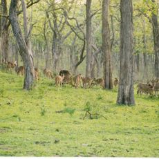
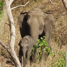
The area includes Bandipur National Park and Biligiriranga Hills, part of one of India's largest protected forest regions. These conservation areas provide habitat for diverse wildlife, including Bengal tigers and Indian elephants.

Location
Capital city
Chamarajanagar
Shares border with
Mandya district, Wayanad district, Mysuru district
GPS coordinates
12.00000,77.30000
Latest update
December 19, 2025 23:32

AroundUs brings together thousands of curated places, local tips, and hidden gems, enriched daily by 60,000 contributors worldwide. Discover all places nearby (Mysuru division).

« Chamarajanagar district - Administrative district in southern Karnataka, India » is provided by Around Us (aroundus.com). Images and texts are derived from Wikimedia project under a Creative Commons license. You are allowed to copy, distribute, and modify copies of this page, under the conditions set by the license, as long as this note is clearly visible.

Discover hidden gems everywhere you go!

From secret cafés to breathtaking viewpoints, skip the crowded tourist spots and find places that match your style. Our app makes it easy with voice search, smart filtering, route optimization, and insider tips from travelers worldwide. Download now for the complete mobile experience.

Around Us App Screenshot

A unique approach to discovering new places

Le Figaro

All the places worth exploring

France Info

A tailor-made excursion in just a few clicks

20 Minutes

Around Us
Travel Guide & Maps
Download

Send to your phone

QR Code
1

Open the camera app on your mobile.

2

Point at the QR code with your camera. A notification will appear.

3

Tap the notification to open the link.