Northeast India, Geographic region in eastern India
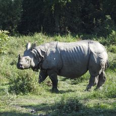
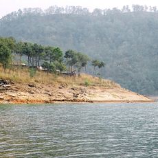
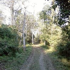
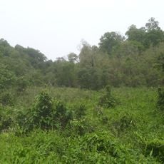
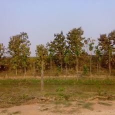
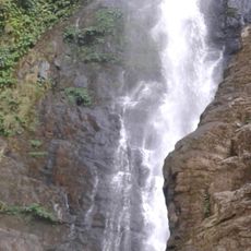
Northeast India covers eight states and includes mountains, river valleys, dense forests, and plains that support a wide variety of plant and animal species. Each state has its own administration, languages, and landscapes that range from tropical rainforests to high-altitude areas near the Himalayas.
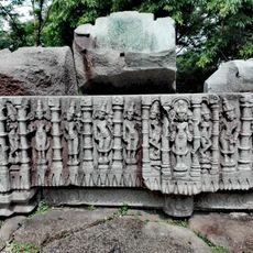
Different peoples from Tibet, Myanmar, and Southeast Asia settled in these areas over centuries, bringing their languages and traditions with them. The geographic position between larger empires allowed many groups to maintain their own structures before British colonial rule redrew administrative boundaries.
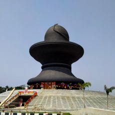
Villages and markets display looms and artisans working with silk and bamboo using methods passed down over centuries, still used in everyday life today. Festivals bring communities together through dance, music, and shared meals, reflecting the strong connection each group maintains with its own customs.
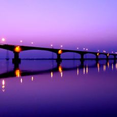
Travelers typically reach the area through airports in Guwahati or Bagdogra, then use shared taxis or state-run buses to move between towns. Most states require permits for foreign visitors, which can be arranged online or through travel agencies.
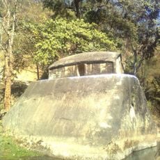
In Meghalaya, the Khasi and Jaintia communities grow living bridges from rubber tree roots that span rivers and take years to form. These bridges become stronger over time and can last for generations, with some reaching over a century in age.
The community of curious travelers
AroundUs brings together thousands of curated places, local tips, and hidden gems, enriched daily by 60,000 contributors worldwide.