Bally, City in West Bengal, India
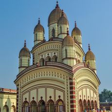
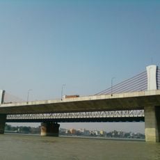
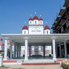
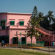
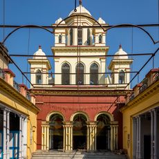
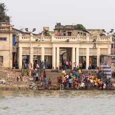
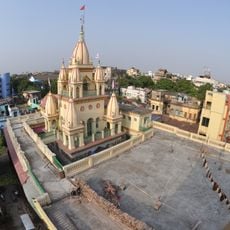
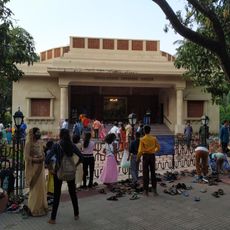
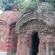
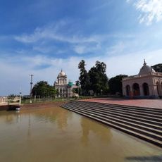
Bally is a town in Howrah district, West Bengal, situated along the Hooghly River and home to several temples. The oldest and most central is Kalyaneshwar Mandir, a Shiva temple over 500 years old, surrounded by smaller shrines dedicated to other deities.
Kalyaneshwar Mandir was established over 500 years ago and remains the town's oldest structure. The site later became linked to the Ramakrishna movement when the revered saint visited regularly, shaping the spiritual character of the region.
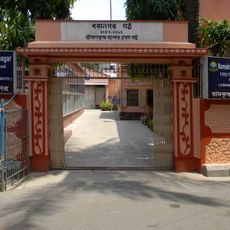
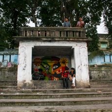
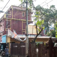
Bally's identity centers on its temples and the daily rhythms of worship that shape community life. Residents gather year-round for prayers and ceremonies, with temple courtyards serving as the focal points where faith and daily routines intertwine.
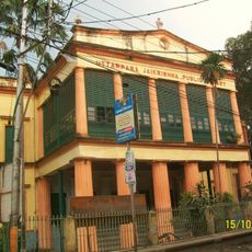
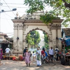
The town is easy to explore on foot, with temples and the riverfront located in the center. Visiting early in the morning or evening works best, when locals gather for prayers and the atmosphere feels less crowded than midday.
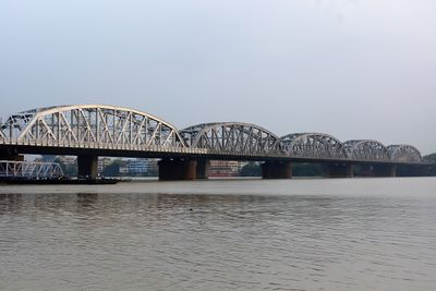
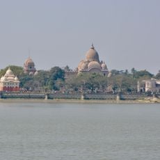
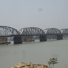
Just across the Hooghly River sits the famous Dakshineswar Kali Temple, making Bally a natural stopping point for pilgrims visiting both places. This geographic proximity has historically shaped the area as a linked spiritual hub.
The community of curious travelers
AroundUs brings together thousands of curated places, local tips, and hidden gems, enriched daily by 60,000 contributors worldwide.