Chest opened
+${chestReward.xp} XP
Explorer
NOUVEAU ×${chestReward.collectible.quantity}
tapez pour fermer
Chest locked

Open chests in the app

Around Us is built for your phone — chests unlock when you walk, explore and capture nearby places.

Enable Location

We need your location to show you interesting places around you

Discover nearby places

Find interesting locations and hidden gems around you

Precise directions

Get accurate directions and distances to places

Your location is never shared with other users. It's only used when you tap the location button.

Log in to your account

Start exploring — it's free

Trusted by 72,885 travelers worldwide

Continue with Google
Continue with Apple
or

We will send you a code to connect

By continuing, you accept our Terms and Conditions and our Privacy Policy

Check your inbox

We've sent a pincode in your inbox. Please enter the code below.

Hardoi
Discussion Reviews Photo
34k Popularity

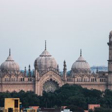
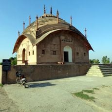
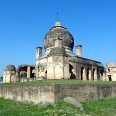
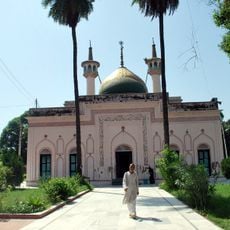
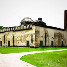
Hardoi, Administrative center in Uttar Pradesh, India

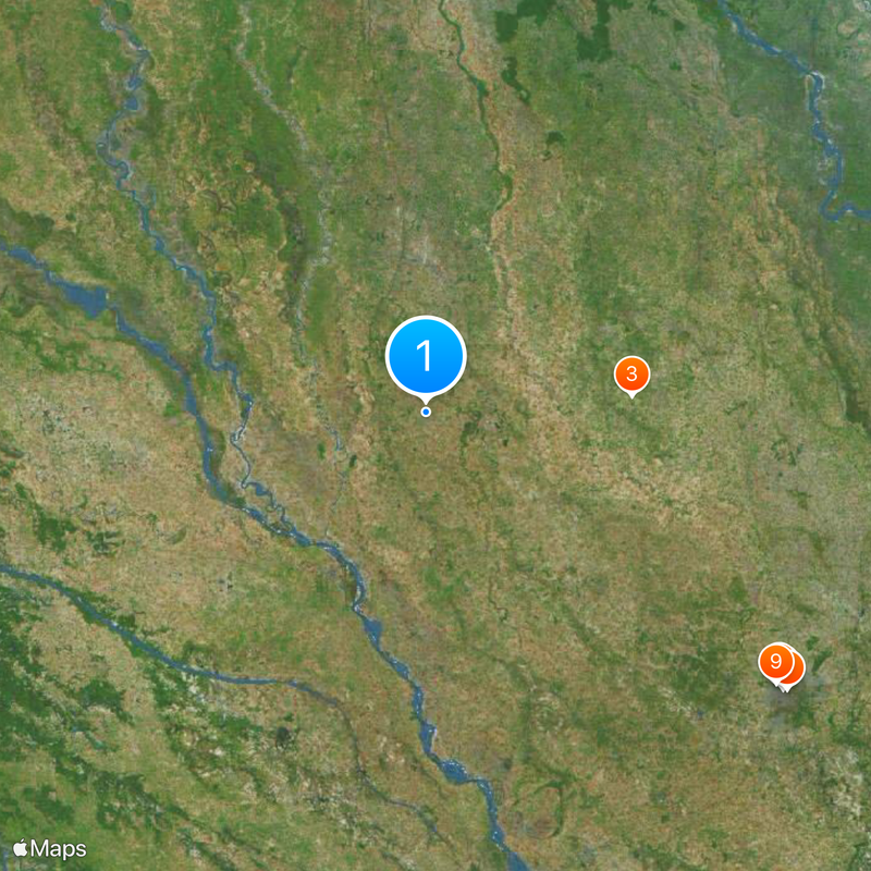
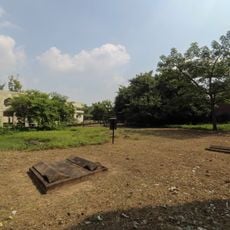
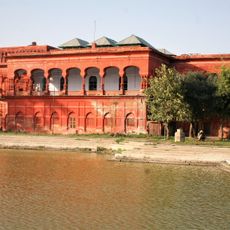
Hardoi is a district administrative center in Uttar Pradesh located on flat plains with scattered sandy mounds and wetland areas toward the southwest. The city sits near the Ganges River valley and functions as a transport hub connecting various regions through rail and road networks.

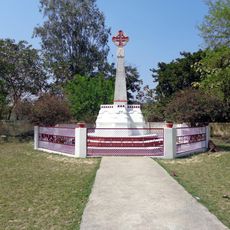
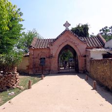
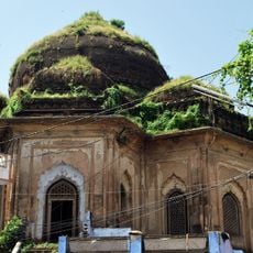
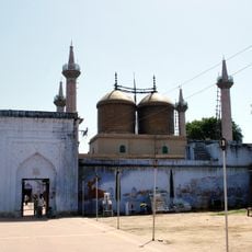
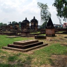
The city traces its origins to around 1300 when Nir Singh and Chamar Gaur conquered the region from the Thatheras and established distinct old and new settlements. This early foundation set the stage for the area's eventual growth into a regional administrative center.

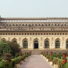
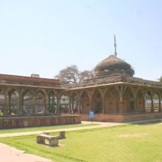
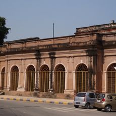
The Victoria Hall town building from 1888 stands at the heart of civic life with its prominent clock tower and public library. Locals and visitors gather here regularly, making it a focal point for administrative and community activities that shape daily rhythms.

The city has reliable railway and road connections linking it to Lucknow and New Delhi, making travel and commerce relatively straightforward. The markets near Railwayganj serve as the main hub for buying and selling local goods, particularly agricultural products.

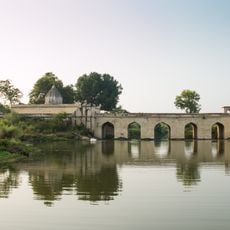
An intricate network of irrigation canals runs through and around Hardoi, bringing water to fields where rice, wheat, millet, chickpeas, and sugarcane grow. These waterways are fundamental to the region's farming success and shape how the landscape looks throughout the seasons.

The community of curious travelers

AroundUs brings together thousands of curated places, local tips, and hidden gems, enriched daily by 60,000 contributors worldwide.

Start exploring
Location
Elevation above the sea
134 m
GPS coordinates
27.40106,80.13297
Latest update
December 19, 2025 23:08
Reviews
Share your experience

No review yet

Discussions
Start a discussion...

No discussion yet

« Hardoi - Administrative center in Uttar Pradesh, India » is provided by Around Us (aroundus.com). Images and texts are derived from Wikimedia project under a Creative Commons license. You are allowed to copy, distribute, and modify copies of this page, under the conditions set by the license, as long as this note is clearly visible.

Discover hidden gems everywhere you go!

From secret cafés to breathtaking viewpoints, skip the crowded tourist spots and find places that match your style. Our app makes it easy with voice search, smart filtering, route optimization, and insider tips from travelers worldwide. Download now for the complete mobile experience.

Around Us App Screenshot

A unique approach to discovering new places

Le Figaro

All the places worth exploring

France Info

A tailor-made excursion in just a few clicks

20 Minutes

Around Us
Travel Guide & Maps
Download

Send to your phone

QR Code
1

Open the camera app on your mobile.

2

Point at the QR code with your camera. A notification will appear.

3

Tap the notification to open the link.