Chirang district, Administrative district in Lower Assam division, India.
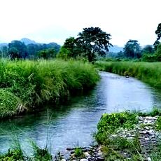
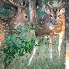
Chirang is an administrative district in Lower Assam that stretches across fertile agricultural lands where farming is the main economic activity. Farmers in the area grow rice, mustard, and tea as their primary crops.
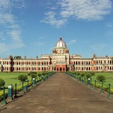
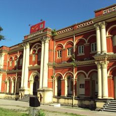
The district was created in 2000 following the division of the former Bodo region, with Kajalgaon chosen as its administrative center. This reorganization aimed to bring local governance closer to the people living in the area.
Multiple ethnic communities living in the district maintain their traditions through year-round celebrations like Bwisagu and Rongjali Bihu, with each festival bringing the community together. These gatherings shape how people mark time and stay connected to their roots in daily life.
Transportation in the area relies on regular bus services and auto-rickshaws that connect villages to markets and schools throughout the district. These are the main ways people get around between different settlements and activity centers.
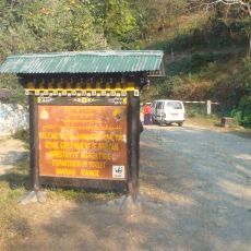
The district shares a border with Bhutan, creating opportunities for cross-border trade and cultural connections that visitors can observe. This geographic closeness shapes daily life and economic ties with the neighboring country.
Location: Lower Assam division
Capital city: Kajalgaon
Shares border with: Kokrajhar district, Barpeta district, Bongaigaon district, Baksa district
Website: http://chirang.gov.in
GPS coordinates: 26.52380,90.48380
Latest update: December 7, 2025 19:26
Manas National Park
49.6 km
Raimona National Park
52.8 km
Buxa Tiger Reserve
91.1 km
Cooch Behar Palace
106.5 kmDhubri-Phulbari bridge
76 km
Naranarayan Setu
35.9 km
Sri Surya Pahar
51.4 km
Buxa Fort
93.5 km
Royal Manas National Park
49.9 kmGaro Hills Autonomous District Council
77.8 km
Panbari Mosque
59.3 km
Jigme Singye Wangchuck National Park
71.7 km
Baneshwar Shiva temple
99.3 km
Phibsoo Wildlife Sanctuary
53.3 km
Matiabag Palace
90.1 km
Phrumsengla National Park
97.7 kmBhangagarh
72.6 km
Ambari Archeological Site
106.7 km
Santuário de Fauna de Manas
58.8 km
Siddheswari temple
97.9 km
Rail Museum, Cooch Behar
105 km
Madan Mohan temple
106 km
Siddhanath Shiva temple
104.8 km
Victor Palace
106.6 km
Kalyan Bhawan
106.3 km
Parijat Villa
106.2 km
Maharaja Jitendra Narayan Club
105.5 km
Cooch Behar head post office
105.6 kmVisited this place? Tap the stars to rate it and share your experience / photos with the community! Try now! You can cancel it anytime.
Discover hidden gems everywhere you go!
From secret cafés to breathtaking viewpoints, skip the crowded tourist spots and find places that match your style. Our app makes it easy with voice search, smart filtering, route optimization, and insider tips from travelers worldwide. Download now for the complete mobile experience.
A unique approach to discovering new places❞
— Le Figaro
All the places worth exploring❞
— France Info
A tailor-made excursion in just a few clicks❞
— 20 Minutes