Enable Location

We need your location to show you interesting places around you

Discover nearby places

Find interesting locations and hidden gems around you

Precise directions

Get accurate directions and distances to places

Your location is never shared with other users. It's only used when you tap the location button.

Log in to your account

Start exploring — it's free

Trusted by 63,155 travelers worldwide

Continue with Google
Continue with Apple
or

We will send you a code to connect

By continuing, you accept our Terms and Conditions and our Privacy Policy

Check your inbox

We've sent a pincode in your inbox. Please enter the code below.

Simdega District
Discussion Reviews Photo
11.8k Popularity

Simdega District, Administrative district in South Chotanagpur division, India.

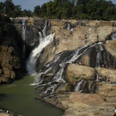
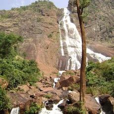
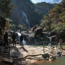
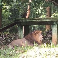
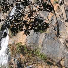
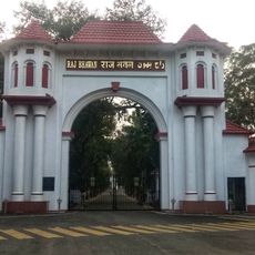
Simdega District is an administrative division in the South Chotanagpur region characterized by forested terrain, hilly landscape, and farming areas. The area comprises multiple administrative blocks linked by road networks, with the town of Simdega serving as the district's main seat of government.

The district was formed in 2001 when it separated from the former Gumla district as a new administrative entity. Before this division, the region had been under the rule of the Gajapati Kings of Kalinga for centuries.

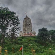
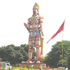
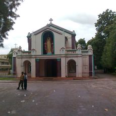
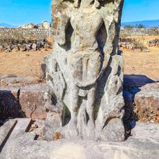
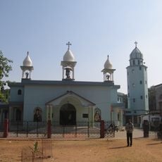
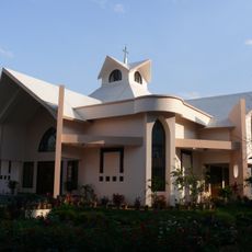
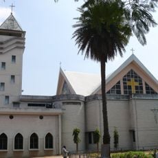
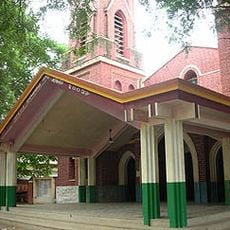
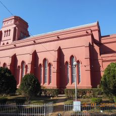
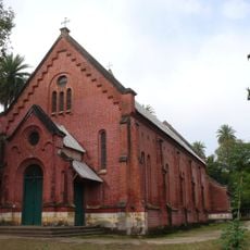
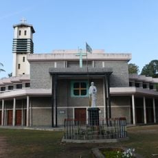
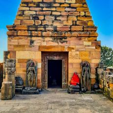
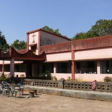
The region is home to indigenous communities who practice Christianity, Hinduism, and the traditional Sarna faith as their main religions. These spiritual traditions shape local celebrations and the way people in the district live together.

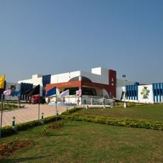
The district is accessible by road networks connecting its various administrative blocks, making it navigable for visitors. Travel within the area works best when planned through the town of Simdega, which serves as the main entry point.

The Geological Survey of India has identified diamond deposits within the region, drawing attention from international mining companies. These geological resources shape discussions about the district's economic future and development.

The community of curious travelers

AroundUs brings together thousands of curated places, local tips, and hidden gems, enriched daily by 60,000 contributors worldwide.

Start exploring
Capital city
Simdega
Shares border with
Jashpur district, West Singhbhum district
GPS coordinates
22.61000,84.50000
Latest update
December 7, 2025 20:49
Reviews
Share your experience

No review yet

Discussions
Start a discussion...

No discussion yet

« Simdega District - Administrative district in South Chotanagpur division, India » is provided by Around Us (aroundus.com). Images and texts are derived from Wikimedia project under a Creative Commons license. You are allowed to copy, distribute, and modify copies of this page, under the conditions set by the license, as long as this note is clearly visible.

Discover hidden gems everywhere you go!

From secret cafés to breathtaking viewpoints, skip the crowded tourist spots and find places that match your style. Our app makes it easy with voice search, smart filtering, route optimization, and insider tips from travelers worldwide. Download now for the complete mobile experience.

Around Us App Screenshot

A unique approach to discovering new places

Le Figaro

All the places worth exploring

France Info

A tailor-made excursion in just a few clicks

20 Minutes

Around Us
Travel Guide & Maps
Download

Send to your phone

QR Code
1

Open the camera app on your mobile.

2

Point at the QR code with your camera. A notification will appear.

3

Tap the notification to open the link.