Enable Location

We need your location to show you interesting places around you

Discover nearby places

Find interesting locations and hidden gems around you

Precise directions

Get accurate directions and distances to places

Your location is never shared with other users. It's only used when you tap the location button.

Log in to your account

Start exploring — it's free

Trusted by 68,148 travelers worldwide

Continue with Google
Continue with Apple
or

We will send you a code to connect

By continuing, you accept our Terms and Conditions and our Privacy Policy

Check your inbox

We've sent a pincode in your inbox. Please enter the code below.

Gajapati district
Discussion Reviews Photo
19.6k Popularity

Gajapati district, Administrative division in Odisha, India

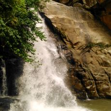
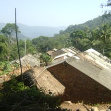
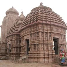
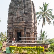
Gajapati is an administrative district in Odisha covered by Eastern Ghats terrain, with hills, forests, and river valleys creating a varied landscape. The Mahendragiri Mountain dominates the geography and shapes how the land looks across the region.

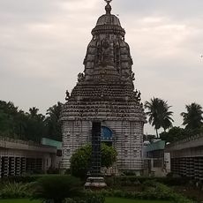
The district was created in 1993 when it separated from the neighboring Ganjam district. Its name comes from the Gajapati dynasty, which ruled the region during medieval times.

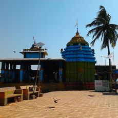
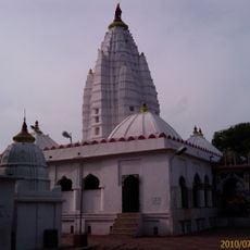
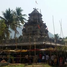
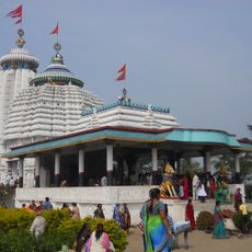
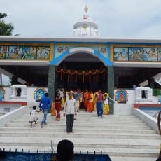
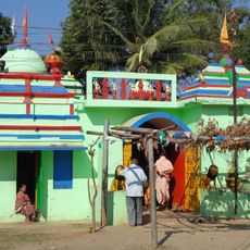
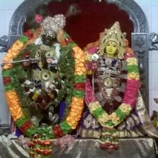
Local communities celebrate Dussehra and Nuakhai with deep involvement, marking important moments in the yearly rhythm. These festivals bring people together and show how harvest, family, and spiritual beliefs shape daily life here.

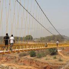
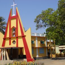
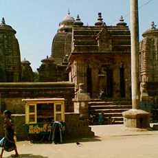
Paralakhemundi serves as the administrative center where government offices are located and provide services. Buses and auto-rickshaws form the main transport network, making it possible to move around the region.

The district has one of the lowest population densities in Odisha, remaining largely out of the spotlight. Agriculture here centers on rice, millet, and pulses, which form the backbone of rural livelihoods across the varied terrain.

The community of curious travelers

AroundUs brings together thousands of curated places, local tips, and hidden gems, enriched daily by 60,000 contributors worldwide.

Start exploring
Location
Southern division
Inception
1992
Capital city
Paralakhemundi
Shares border with
Rayagada district
GPS coordinates
18.88000,84.20000
Latest update
December 7, 2025 10:07
Reviews
Share your experience

No review yet

Discussions
Start a discussion...

No discussion yet

« Gajapati district - Administrative division in Odisha, India » is provided by Around Us (aroundus.com). Images and texts are derived from Wikimedia project under a Creative Commons license. You are allowed to copy, distribute, and modify copies of this page, under the conditions set by the license, as long as this note is clearly visible.

Discover hidden gems everywhere you go!

From secret cafés to breathtaking viewpoints, skip the crowded tourist spots and find places that match your style. Our app makes it easy with voice search, smart filtering, route optimization, and insider tips from travelers worldwide. Download now for the complete mobile experience.

Around Us App Screenshot

A unique approach to discovering new places

Le Figaro

All the places worth exploring

France Info

A tailor-made excursion in just a few clicks

20 Minutes

Around Us
Travel Guide & Maps
Download

Send to your phone

QR Code
1

Open the camera app on your mobile.

2

Point at the QR code with your camera. A notification will appear.

3

Tap the notification to open the link.