Hosur division, human settlement in India
Location: Krishnagiri district
GPS coordinates: 12.73500,77.82900
Latest update: April 18, 2025 06:49
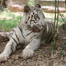
Bannerghatta National Park
28.5 km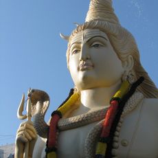
The RVM Foundation Shiv Temple
31.1 km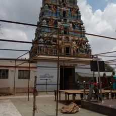
Chikka Tirupati
18.3 km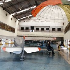
HAL Heritage Centre and Aerospace Museum
29.3 km
Thottikallu
32.6 km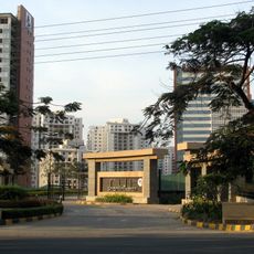
Prestige Shantiniketan
30.8 km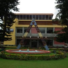
HAL Aerospace Museum
29.3 km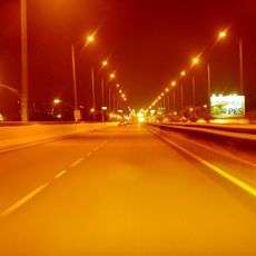
Hosur Road
24.8 km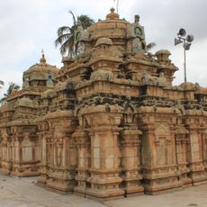
Nageshvara Temple
27 km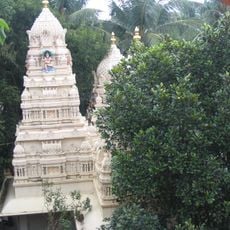
Ragigudda Anjaneya Temple
32.5 km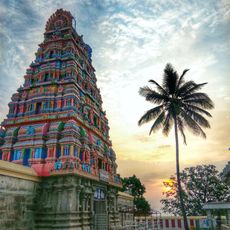
Chandra Choodeswarar Temple, Hosur
1.5 km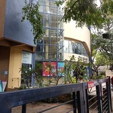
Ranga Shankaraa
32.8 km
Muthyalamaduvu
18.6 km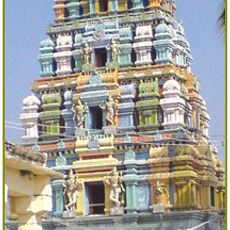
Betrayaswamy Temple
24.6 km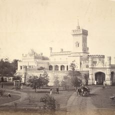
Kenilworth Fort
677 m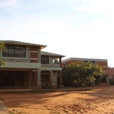
Prakriya Green Wisdom School
22.1 km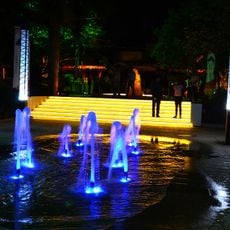
Cornerstone Park, Bangalore
33.9 km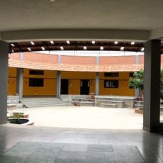
CURIOUSCITY Science Center
19.6 km
Click Art Museum
26.4 km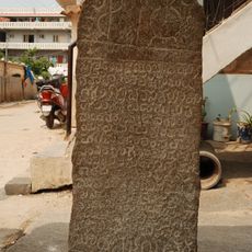
Asvatta mara inscription
28.5 km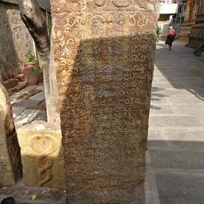
Chokkanatha Temple inscription of 1440
32.9 km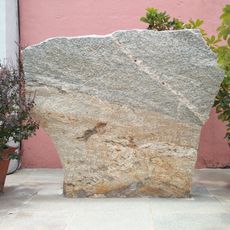
Vibhutipura inscription
30.2 km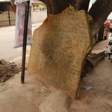
Doddanekkundi inscription
30.2 km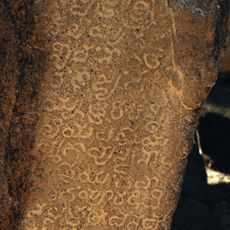
Kaikondrahalli herostone inscription
25.3 km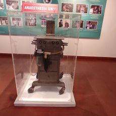
NIMHANS Heritage museum
34.1 km
Boschi India Experience Centre
33.9 km
Yellamallappchetti Lake
33.9 km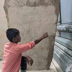
Kottanur garden inscription
31.4 kmReviews
Visited this place? Tap the stars to rate it and share your experience / photos with the community! Try now! You can cancel it anytime.
Discover hidden gems everywhere you go!
From secret cafés to breathtaking viewpoints, skip the crowded tourist spots and find places that match your style. Our app makes it easy with voice search, smart filtering, route optimization, and insider tips from travelers worldwide. Download now for the complete mobile experience.

A unique approach to discovering new places❞
— Le Figaro
All the places worth exploring❞
— France Info
A tailor-made excursion in just a few clicks❞
— 20 Minutes