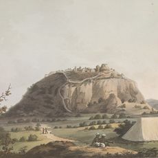
Krishnagiri district, Administrative district in Tamil Nadu, India
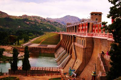
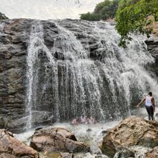
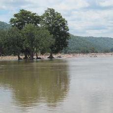
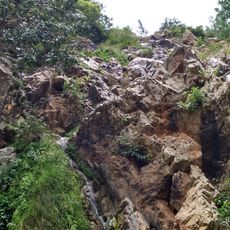
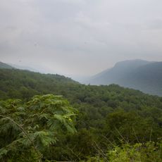
Krishnagiri is an administrative district in Tamil Nadu situated at the base of granite hills with numerous water bodies. The region features active quarries and farms, with agriculture depending on water sources that flow from the surrounding elevations.
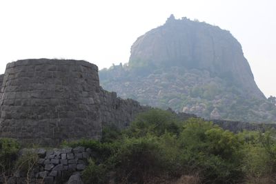
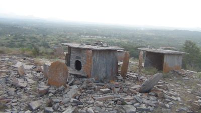
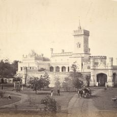
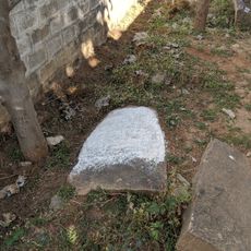
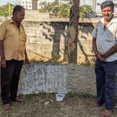
The district was created in 2004 when separated from Dharmapuri, though human populations had occupied this land long before modern borders. Archaeological finds show evidence of settlements dating back through multiple prehistoric periods.
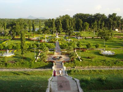
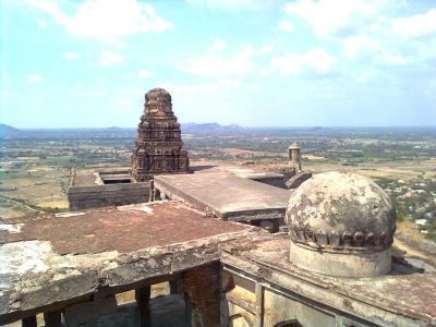
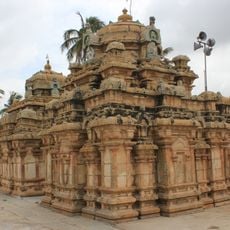
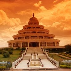
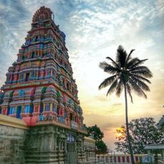
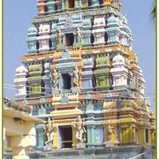
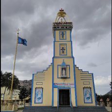
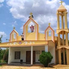
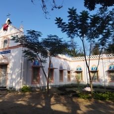
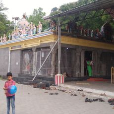
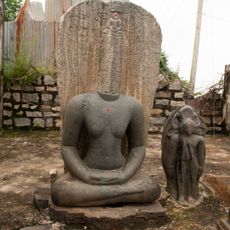
Temples built centuries ago remain active places of worship and community gathering throughout the region. The local population observes traditional Tamil festivals with care, creating visible celebrations that shape the rhythm of the year.
The district sits on major transportation routes linking Tamil Nadu, Karnataka, and Andhra Pradesh through a network of highways. Public transport options connect different areas within the district and link it to neighboring regions.
The region leads Tamil Nadu in mango farming, with large orchards that define the landscape during growing seasons. The harvest brings visible activity to villages and markets, making it a focal point for this agricultural product.
Location: Tamil Nadu
Inception: February 9, 2004
Capital city: Krishnagiri
Shares border with: Bengaluru Rural district, Tirupattur district, Dharmapuri district, Chittoor district
Website: http://krishnagiri.nic.in
GPS coordinates: 12.51800,78.21300
Latest update: December 14, 2025 21:14
Bannerghatta National Park
76.1 km
Thottikallu
80 km
Hosur Road
72.8 km
Nageshvara Temple
75.2 km
The Art of Living International Center
83.8 km
Chandra Choodeswarar Temple, Hosur
47 km
Cauvery Wildlife Sanctuary
82.5 km
Muthyalamaduvu
62.5 km
Krishnagiri Fort
2.2 km
Hulimavu cave Temple
77.7 km
Abaya Hastha Swayambu Sri Lakshmi Narasimha Swamy Temple, Agaram Village, Hosur
31 km
Annekal Reserved Forest
70.7 km
Melagiri
54.5 km
Betrayaswamy Temple
45 km
Kenilworth Fort
48.5 km
Varadaraja Perumal Temple, Shoolagiri
27.2 km
Our Lady of Fatima Church, Krishnagiri
892 m
St. Antony's Church, Sundampatti
6.5 km
St. Francis Xavier Church, Kethanahalli
23 km
Queen of Angels Church, Kadagathur
39.3 km
காட்டிநாயனப்பள்ளி ஆஞ்சநேயர் சுப்பிரமணிய சுவாமி கோயில்
3.3 km
Talegattapura Symanas field Kannada inscription
83.2 km
Talegattapura Symanas field Tamil inscription
83.2 km
Begur fort Jagali inscription of 950 AD
75.2 km
Sravavappana dinne ruined Jina basti inscription
75.3 km
Kottanur garden inscription
79.6 km
Prakriya Green Wisdom School
69.4 km
Infosys Gate 6
70.2 kmVisited this place? Tap the stars to rate it and share your experience / photos with the community! Try now! You can cancel it anytime.
Discover hidden gems everywhere you go!
From secret cafés to breathtaking viewpoints, skip the crowded tourist spots and find places that match your style. Our app makes it easy with voice search, smart filtering, route optimization, and insider tips from travelers worldwide. Download now for the complete mobile experience.
A unique approach to discovering new places❞
— Le Figaro
All the places worth exploring❞
— France Info
A tailor-made excursion in just a few clicks❞
— 20 Minutes