Enable Location

We need your location to show you interesting places around you

Discover nearby places

Find interesting locations and hidden gems around you

Precise directions

Get accurate directions and distances to places

Your location is never shared with other users. It's only used when you tap the location button.

Log in to your account

Start exploring — it's free

Trusted by 62,495 travelers worldwide

Continue with Google
Continue with Apple
or

We will send you a code to connect

By continuing, you accept our Terms and Conditions and our Privacy Policy

Check your inbox

We've sent a pincode in your inbox. Please enter the code below.

Karkala taluk

Karkala taluk, Administrative division in Udupi district, Karnataka, India.

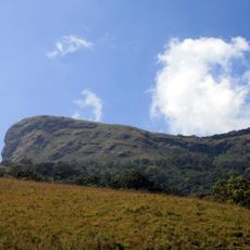
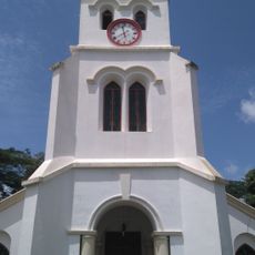
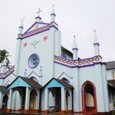
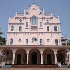
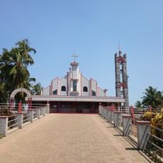
Karkala is an administrative area in Udupi district, Karnataka, that spreads across undulating terrain with numerous lakes and dark granite formations. The region contains several important sites to visit, including a significant temple and a famous statue that have survived through the centuries.

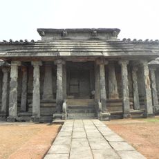
The area originated in the 10th century as Pandya Nagari under Jain rule and was later governed by various dynasties. This early history shaped the religious and cultural direction of the region down to the present day.

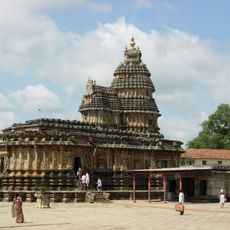
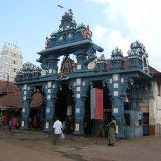
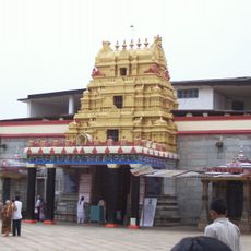
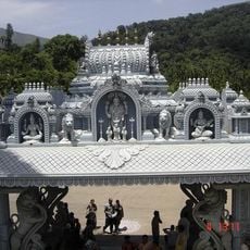
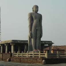
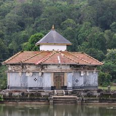
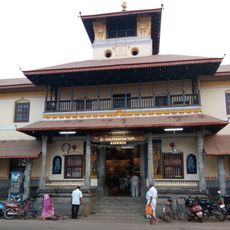
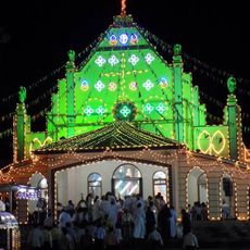
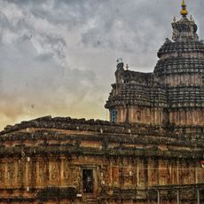
The region is home to significant pilgrimage sites like the Chaturmukha Basadi temple and the colossal Gommateshwara statue that shape spiritual life. These structures draw visitors who come to experience the religious devotion and meaning these places hold for local communities.

The area connects several important towns and serves many visitors as a gateway between different destinations. The rolling terrain and lakes shape how the landscape looks and influence how you navigate through it.

The region holds multiple lakes including Anekere, Ramasamudra, and Sigadi Kere that have long supported farm life and agriculture. These water bodies are more than just resources; they remain central to daily work and livelihoods across the area.

The community of curious travelers

AroundUs brings together thousands of curated places, local tips, and hidden gems, enriched daily by 60,000 contributors worldwide.

Start exploring
Location
GPS coordinates
13.20687,74.99913
Latest update
December 12, 2025 17:45
« Karkala taluk - Administrative division in Udupi district, Karnataka, India » is provided by Around Us (aroundus.com). Images and texts are derived from Wikimedia project under a Creative Commons license. You are allowed to copy, distribute, and modify copies of this page, under the conditions set by the license, as long as this note is clearly visible.

Discover hidden gems everywhere you go!

From secret cafés to breathtaking viewpoints, skip the crowded tourist spots and find places that match your style. Our app makes it easy with voice search, smart filtering, route optimization, and insider tips from travelers worldwide. Download now for the complete mobile experience.

Around Us App Screenshot

A unique approach to discovering new places

Le Figaro

All the places worth exploring

France Info

A tailor-made excursion in just a few clicks

20 Minutes

Around Us
Travel Guide & Maps
Download

Send to your phone

QR Code
1

Open the camera app on your mobile.

2

Point at the QR code with your camera. A notification will appear.

3

Tap the notification to open the link.