Enable Location

We need your location to show you interesting places around you

Discover nearby places

Find interesting locations and hidden gems around you

Precise directions

Get accurate directions and distances to places

Your location is never shared with other users. It's only used when you tap the location button.

Udupi district

Log in to your account

Start exploring — it's free

Trusted by 61,319 travelers worldwide

Continue with Google
Continue with Apple
or

We will send you a code to connect

By continuing, you accept our Terms and Conditions and our Privacy Policy

Check your inbox

We've sent a pincode in your inbox. Please enter the code below.

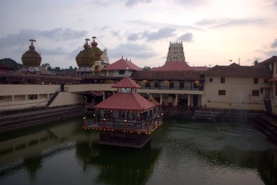
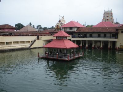
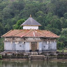
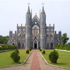
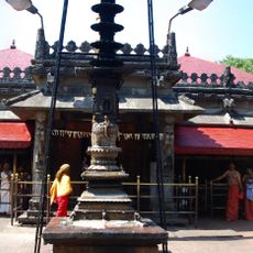
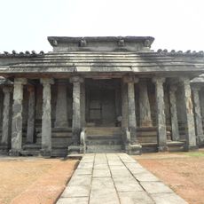
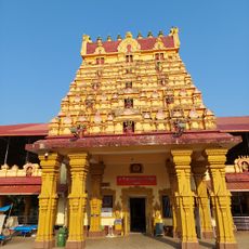
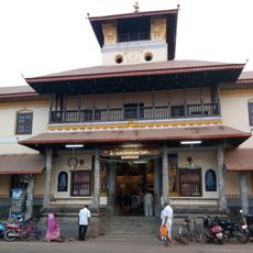
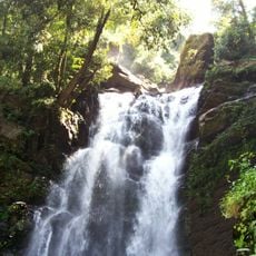
Udupi district, Administrative district in Karnataka, India

Description

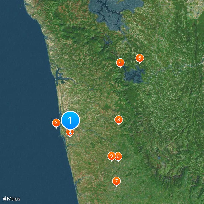
This district sits along the northern Malabar coast and contains seven taluks, including Udupi, Karkala, and Kundapura. The region spans about 3,880 sq km (1,500 sq mi), connecting coastal areas with inland communities.

History

The district came into being in 1997 when three northern tehsils split away from Dakshina Kannada district. This administrative separation allowed the area to develop its own governance and management structure.

Culture

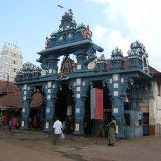
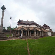
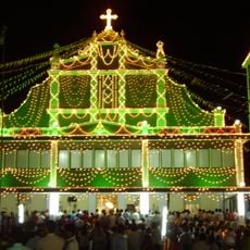
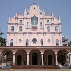
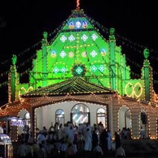
Multiple languages shape daily life here, with Kannada and Tulu speakers each bringing their own customs and traditions to the region. These communities coexist and influence local festivals, food, and the character of different neighborhoods.

Practical

The area connects to the broader region via the Konkan Railway network and has banking services and government offices scattered throughout. Visitors can find these facilities across different towns without difficulty.

Did you know?

A strategic petroleum reserve is located in the Padur area, serving as part of the nation's energy security infrastructure. The district also hosts significant thermal power and wind energy manufacturing operations that many visitors overlook when exploring the region.

Location
Inception
1997
Capital city
Udupi
Shares border with
Chikkamagaluru district, Shimoga district
GPS coordinates
13.35000,74.75000
Latest update
December 14, 2025 19:41

AroundUs brings together thousands of curated places, local tips, and hidden gems, enriched daily by 60,000 contributors worldwide. Discover all places nearby (Mysuru division).

« Udupi district - Administrative district in Karnataka, India » is provided by Around Us (aroundus.com). Images and texts are derived from Wikimedia project under a Creative Commons license. You are allowed to copy, distribute, and modify copies of this page, under the conditions set by the license, as long as this note is clearly visible.

Discover hidden gems everywhere you go!

From secret cafés to breathtaking viewpoints, skip the crowded tourist spots and find places that match your style. Our app makes it easy with voice search, smart filtering, route optimization, and insider tips from travelers worldwide. Download now for the complete mobile experience.

Around Us App Screenshot

A unique approach to discovering new places

Le Figaro

All the places worth exploring

France Info

A tailor-made excursion in just a few clicks

20 Minutes

Around Us
Travel Guide & Maps
Download

Send to your phone

QR Code
1

Open the camera app on your mobile.

2

Point at the QR code with your camera. A notification will appear.

3

Tap the notification to open the link.