Kudremukh, National park in Chikkamagaluru district, India
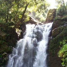
Kudremukh is a national park of 600.32 km² in Chikkamagaluru district, at the tri-junction of Dakshina Kannada, Udupi and Chikkamagaluru districts. Its southern and western sides form the steep slope of the Western Ghats ridgeline, from 100 m up to the 1,894 m peak, while the north, centre and east are rolling hills of natural grassland and shola forest. The Tunga, Bhadra and Nethravathi rivers rise here.
Kudremukh was declared a national park in 1987 after years of campaigning by environmentalists. The designation followed a 1983–84 survey by tiger expert K. Ullas Karanth, who found that the tract likely held the largest contiguous population of lion-tailed macaques in the Western Ghats outside the Malabar region. The area had earlier been an iron ore mining town run by KIOCL, whose lease lapsed on 24 July 1999.
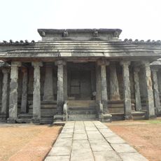
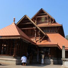
The name Kudremukh comes from the Kannada words kudure (horse) and mukha (face), referring to a side of the mountain whose profile resembles a horse's face. The peak was also called Samseparvata, after Samse village, the historic approach route. A shrine of the goddess Bhagavathi and a 1.8-metre Varaha image inside a cave are among the sites visitors can see.
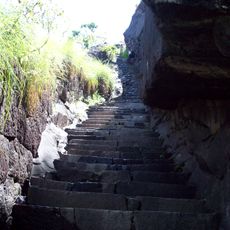
The terrain is hilly and requires good fitness and proper equipment, especially during monsoon season when paths become slippery. The best time to visit is during dry months when trails are more accessible and visibility is clearer.
The park is home to rare plants including the Nilambur Cobra Lily and South Indian Jewel Orchid growing in its dense evergreen forests. These orchid species are difficult to spot as they bloom hidden within the canopy layers of the forest ceiling.
The community of curious travelers
AroundUs brings together thousands of curated places, local tips, and hidden gems, enriched daily by 92,820 contributors worldwide.