Enable Location

We need your location to show you interesting places around you

Discover nearby places

Find interesting locations and hidden gems around you

Precise directions

Get accurate directions and distances to places

Your location is never shared with other users. It's only used when you tap the location button.

Chikkamagaluru district

Log in to your account

Start exploring — it's free

Trusted by 60,653 travelers worldwide

Continue with Google
Continue with Apple
or

We will send you a code to connect

By continuing, you accept our Terms and Conditions and our Privacy Policy

Check your inbox

We've sent a pincode in your inbox. Please enter the code below.

Chikkamagaluru district

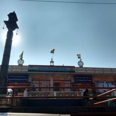
Chikkamagaluru district, Administrative district in Mysuru division, Karnataka, India

Description

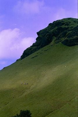
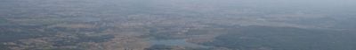
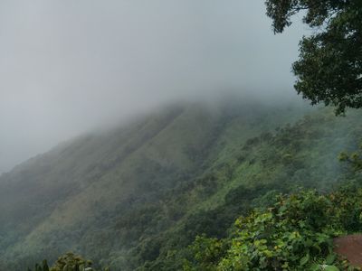
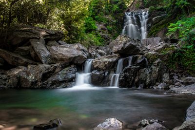
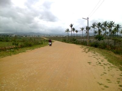
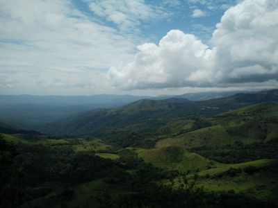
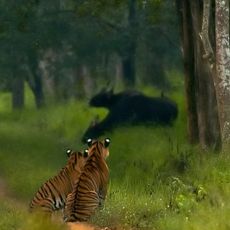
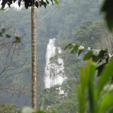
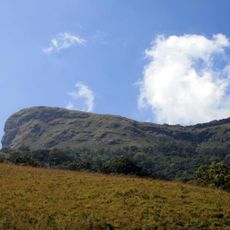
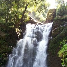
Chikkamagaluru is an administrative district in Karnataka's Mysuru division, located in the Western Ghats with rolling hills, thick forests, and two major rivers—the Tunga and Bhadra—that rise within its boundaries. The terrain transitions between high plateaus and river valleys, shaped by the monsoon climate and geological features of the mountain range.

History

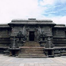
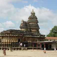
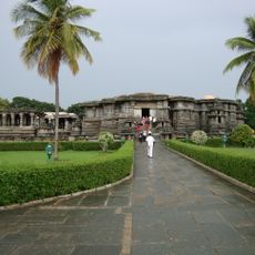
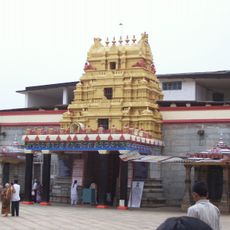
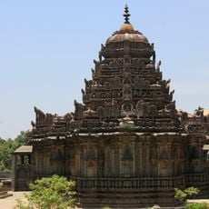
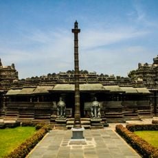
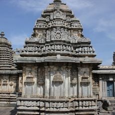
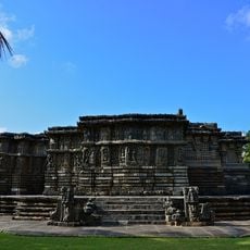
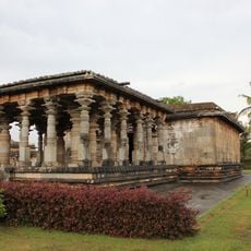
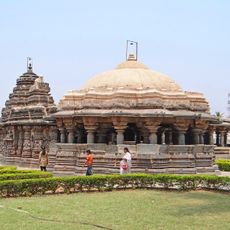
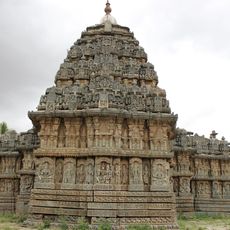
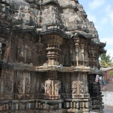
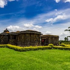
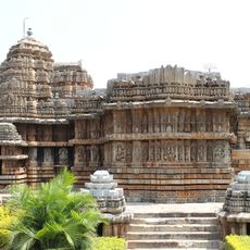
The region served as the heartland of the Hoysala dynasty during medieval times, when their founder established power in the area. This early period of dynastic rule shaped the region's development and left marks still visible in local traditions today.

Culture

The name comes from Kannada and means 'town of the younger daughter', rooted in a local tale about a chief's daughter from centuries past. This story remains woven into how residents connect with their place today.

Practical

The district connects to other Karnataka cities through well-developed road networks, making travel manageable by car or bus. Accommodations range from small lodges near coffee estates to guesthouses in town centers, with options suitable for different seasons and preferences.

Did you know?

A Sufi saint named Baba Budan brought coffee beans from Arabia to these hills in the 17th century, planting them and creating an agricultural tradition that endures. The region became India's primary coffee-growing area because of this early introduction.

Location
Capital city
Chikkamagaluru
Shares border with
Davanagere district
GPS coordinates
13.32000,75.77000
Latest update
December 14, 2025 21:17

AroundUs brings together thousands of curated places, local tips, and hidden gems, enriched daily by 60,000 contributors worldwide. Discover all places nearby (Mysuru division).

« Chikkamagaluru district - Administrative district in Mysuru division, Karnataka, India » is provided by Around Us (aroundus.com). Images and texts are derived from Wikimedia project under a Creative Commons license. You are allowed to copy, distribute, and modify copies of this page, under the conditions set by the license, as long as this note is clearly visible.

Discover hidden gems everywhere you go!

From secret cafés to breathtaking viewpoints, skip the crowded tourist spots and find places that match your style. Our app makes it easy with voice search, smart filtering, route optimization, and insider tips from travelers worldwide. Download now for the complete mobile experience.

Around Us App Screenshot

A unique approach to discovering new places

Le Figaro

All the places worth exploring

France Info

A tailor-made excursion in just a few clicks

20 Minutes

Around Us
Travel Guide & Maps
Download

Send to your phone

QR Code
1

Open the camera app on your mobile.

2

Point at the QR code with your camera. A notification will appear.

3

Tap the notification to open the link.