Enable Location

We need your location to show you interesting places around you

Discover nearby places

Find interesting locations and hidden gems around you

Precise directions

Get accurate directions and distances to places

Your location is never shared with other users. It's only used when you tap the location button.

Log in to your account

Start exploring — it's free

Trusted by 68,081 travelers worldwide

Continue with Google
Continue with Apple
or

We will send you a code to connect

By continuing, you accept our Terms and Conditions and our Privacy Policy

Check your inbox

We've sent a pincode in your inbox. Please enter the code below.

Mathabhanga I community development block
Discussion Reviews Photo
2.5k Popularity

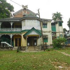
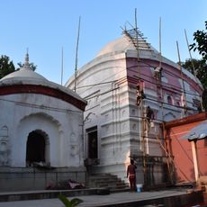
Mathabhanga I community development block, Administrative division in Cooch Behar district, India

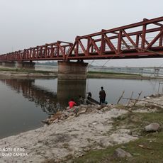
Mathabhanga I is an administrative block in Cooch Behar district in West Bengal, spanning flat terrain crossed by several rivers. The waterways run through the landscape, shaping the geography and influencing how communities use the land.

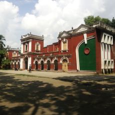
The area developed as an administrative unit within the Mathabhanga subdivision, established to serve as a local government center. This structure helped organize development efforts and community management across the region.

Bengali and Rajbongshi are the main languages spoken here, shaping daily conversation and interaction throughout the communities. These languages reflect the region's cultural roots and connect people across the block.

The block has several healthcare facilities, including primary health centers and subcenters spread across the area. Ask locally for directions to the nearest medical services when traveling through the region.

Most of the population works in farming, growing rice, jute, potatoes, and vegetables on the fertile land. These crops form the backbone of the local economy and shape daily life in the communities.

The community of curious travelers

AroundUs brings together thousands of curated places, local tips, and hidden gems, enriched daily by 60,000 contributors worldwide.

Start exploring
Shares border with
Mekhliganj community development block, Mathabhanga II community development block, Sitalkuchi community development block
GPS coordinates
26.29116,89.23146
Latest update
December 13, 2025 11:47
Reviews
Share your experience

No review yet

Discussions
Start a discussion...

No discussion yet

« Mathabhanga I community development block - Administrative division in Cooch Behar district, India » is provided by Around Us (aroundus.com). Images and texts are derived from Wikimedia project under a Creative Commons license. You are allowed to copy, distribute, and modify copies of this page, under the conditions set by the license, as long as this note is clearly visible.

Discover hidden gems everywhere you go!

From secret cafés to breathtaking viewpoints, skip the crowded tourist spots and find places that match your style. Our app makes it easy with voice search, smart filtering, route optimization, and insider tips from travelers worldwide. Download now for the complete mobile experience.

Around Us App Screenshot

A unique approach to discovering new places

Le Figaro

All the places worth exploring

France Info

A tailor-made excursion in just a few clicks

20 Minutes

Around Us
Travel Guide & Maps
Download

Send to your phone

QR Code
1

Open the camera app on your mobile.

2

Point at the QR code with your camera. A notification will appear.

3

Tap the notification to open the link.