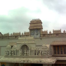
Kothapeta mandal, Administrative division in Dr. B.R. Ambedkar Konaseema district, India.
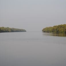
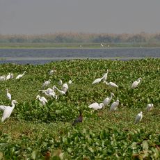
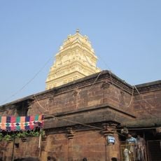
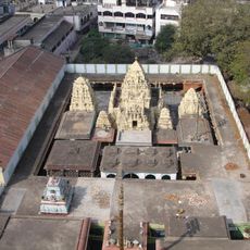
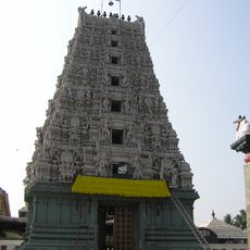
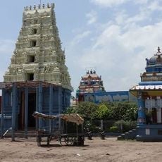
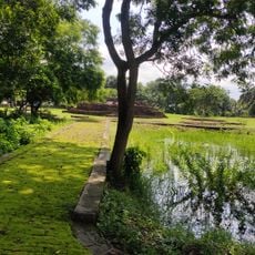
Kothapeta mandal is an administrative division in Dr. B.R. Ambedkar Konaseema district and covers fertile land in southeastern India, with the town of Kothapeta serving as the central administrative center. The region spans flat terrain shaped by the Godavari delta and includes numerous villages throughout.
The administrative region was created in 2022 when it transitioned from East Godavari district to the newly formed Dr. B.R. Ambedkar Konaseema district. This reorganization restructured the administrative boundaries in the region and reshaped how local governance is organized.
The local people practice agriculture with rice and coconut as main crops, using methods that have been passed down through generations in this delta region. These farming practices continue to shape daily life and the rhythm of the communities here.
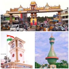
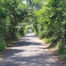
Visitors can reach the administrative town of Kothapeta to access local services and information about the villages in the region. The best time to explore is during the dry season when roads are passable and agricultural activities are visible.
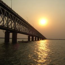
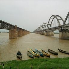
The area sits between tributaries of the Godavari River and is shaped by a network of irrigation channels that regulate agricultural production. This water management system has molded the landscape over many generations and determines how farmland and villages are arranged.
The community of curious travelers
AroundUs brings together thousands of curated places, local tips, and hidden gems, enriched daily by 60,000 contributors worldwide.