Y. Ramavaram mandal, mandal in Alluri Sitharama Raju district, Andhra Pradesh, India
Location: Alluri Sitharama Raju district
Capital city: Y. Ramavaram
GPS coordinates: 17.68000,81.95700
Latest update: April 6, 2025 20:44
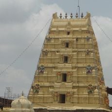
Bhadrachalam Temple
113.9 km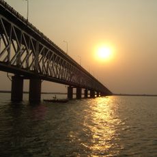
Godavari Bridge
78.9 km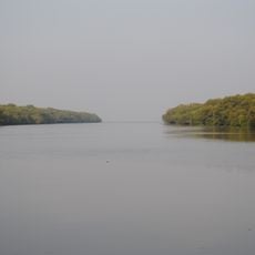
Coringa Wildlife Sanctuary
102.7 km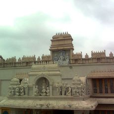
Annavaram Satyanarayana Temple
64.7 km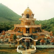
Devipuram
119.8 km
Papikonda Wildlife Sanctuary
54.6 km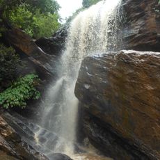
Duduma Waterfalls
107.1 km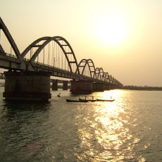
Godavari Arch Bridge
77.4 km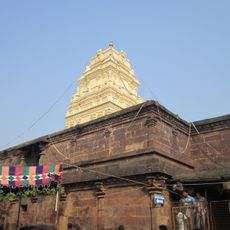
Kumararama
73.3 km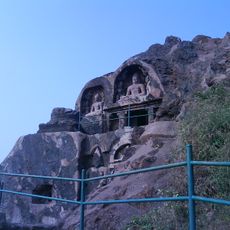
Bojjannakonda
112.4 km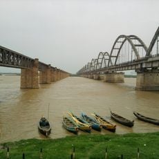
Old Godavari Bridge
77.6 km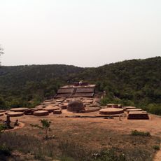
Guntupalli Group of Buddhist Monuments
114.7 km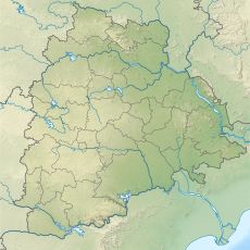
Sitamma Sagar Barrage
115.5 km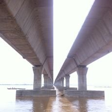
Godavari Fourth Bridge
74.9 km
Gowthami regional library
80.2 km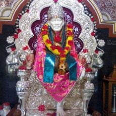
Andhra Shiridi
81.5 km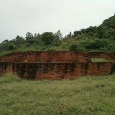
Kotturu Dhanadibbalu
102.3 km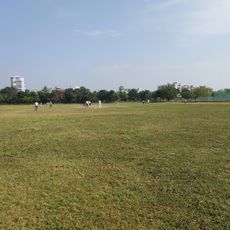
Sports Authority Swimming Pool
83.5 km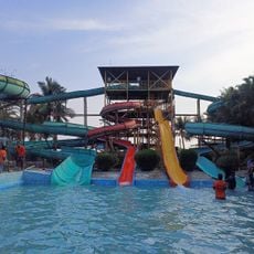
River bay (Water park)
79.1 km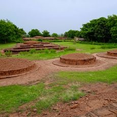
Pandavula Metta
59 km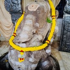
Biccavolu Maha Ganpati
80.6 km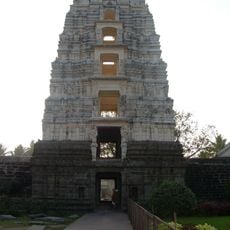
Bhimeswara temple
99.4 km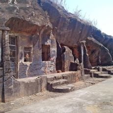
Kapavaram Buddhist sites
59 km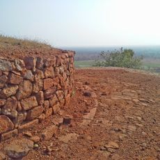
Buddhist remains at Kodavali
59.3 km
Veerabhadra temple
80.6 km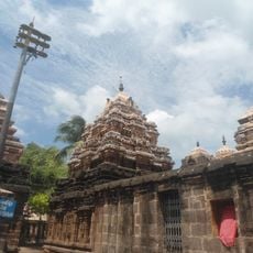
Golingeswara Temple
80.8 km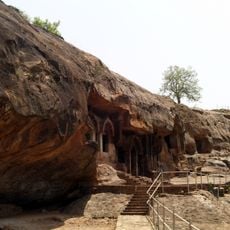
Dhammalingesvarasvami Hill caves
114.7 km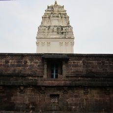
Kumara Bhimeshwara swamy temple
74.6 kmReviews
Visited this place? Tap the stars to rate it and share your experience / photos with the community! Try now! You can cancel it anytime.
Discover hidden gems everywhere you go!
From secret cafés to breathtaking viewpoints, skip the crowded tourist spots and find places that match your style. Our app makes it easy with voice search, smart filtering, route optimization, and insider tips from travelers worldwide. Download now for the complete mobile experience.

A unique approach to discovering new places❞
— Le Figaro
All the places worth exploring❞
— France Info
A tailor-made excursion in just a few clicks❞
— 20 Minutes