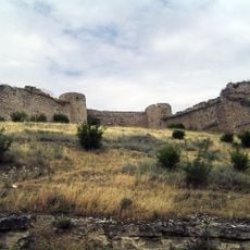
Lowland Karabakh, Geographic region in southwestern Azerbaijan.
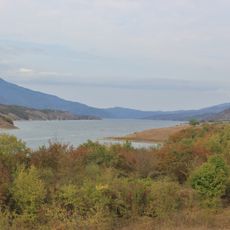
Lowland Karabakh is a plain in southwestern Azerbaijan that stretches between the Kura and Aras rivers. The region sits at roughly 61 meters above sea level and forms a wide, flat landscape with open vistas across the land.
The name came together during the medieval period from the Turkic word 'kara' meaning black and the Persian 'bagh' meaning garden. This naming reflects the cultural blend that shaped the region across centuries.
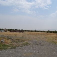
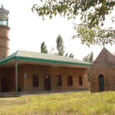
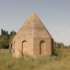
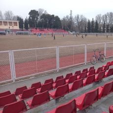
This plain has long served as grazing land for livestock herds, with the flat terrain offering natural pastures for pastoral communities. Local ways of life remain connected to seasonal rhythms and the land's capacity to sustain flocks.
The plain is easy to cross and offers clear sight lines, which makes exploration on foot or by car straightforward. The flat ground and open nature of the landscape work well for visiting at different times of the year.
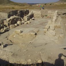
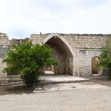
The position between two rivers created natural irrigation possibilities that allowed farming in this area since ancient times. This geographic feature made the region attractive for farming settlement across generations.
The community of curious travelers
AroundUs brings together thousands of curated places, local tips, and hidden gems, enriched daily by 60,000 contributors worldwide.