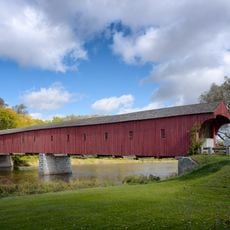
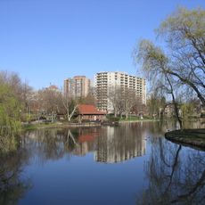
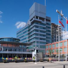
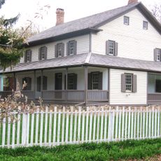
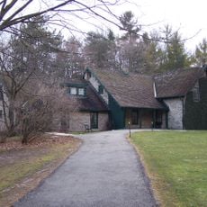
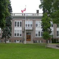
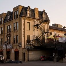
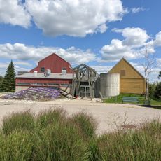
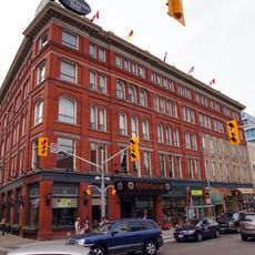
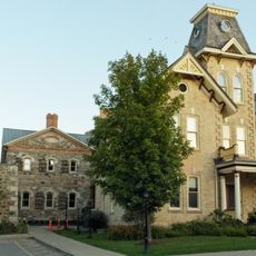
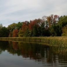
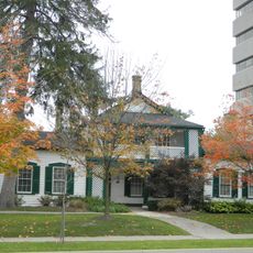
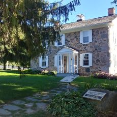
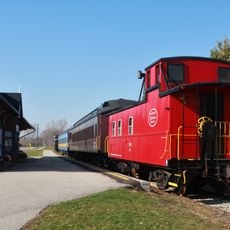
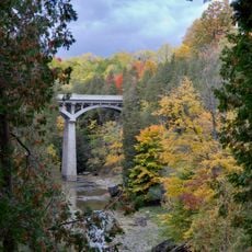
Woolwich, township municipality in Ontario, Canada
Location: Regional Municipality of Waterloo
Inception: 1798
Shares border with: Centre Wellington, Wellesley, Mapleton
Website: http://woolwich.ca
GPS coordinates: 43.56667,-80.48333
Latest update: March 2, 2025 23:39
West Montrose Covered Bridge
2.1 km
Conrad Grebel University College
12.2 km
Victoria Park
13.4 km
Waterloo Central Railway
8 km
Kitchener City Hall
12.9 km
Centre In The Square
12.5 km
Joseph Schneider Haus
13.6 km
Woodside National Historic Site
11.5 km
THEMUSEUM
13 km
Suddaby Public School
12.7 km
Mike & Ophelia Lazaridis Quantum-Nano Centre
11.7 km
Canadian Clay and Glass Gallery
11.8 km
Huether Hotel
11.6 km
Grey Silo Golf Course
5.6 km
The Walper Hotel
13 km
Waterloo County Gaol
12.7 km
Laurel Creek Conservation Area
11.8 km
Erb-Kumpf House
12.1 km
Brubacher House
11.6 km
Waterloo – St. Jacobs Railway
7.6 km
Statue of Queen Victoria
13.3 km
Elora Gorge Conservation Area
11.9 km
St. Mary Our Lady of Seven Sorrows Church
12.7 km
The Registry Theatre
12.8 km
First Mennonite Church Cemetery
13.6 km
Victoria Public School
13.2 km
Irvine River (Watt) Bridge
13.7 km
King's College Cinemas
12.8 kmReviews
Visited this place? Tap the stars to rate it and share your experience / photos with the community! Try now! You can cancel it anytime.
Discover hidden gems everywhere you go!
From secret cafés to breathtaking viewpoints, skip the crowded tourist spots and find places that match your style. Our app makes it easy with voice search, smart filtering, route optimization, and insider tips from travelers worldwide. Download now for the complete mobile experience.
A unique approach to discovering new places❞
— Le Figaro
All the places worth exploring❞
— France Info
A tailor-made excursion in just a few clicks❞
— 20 Minutes