Wellington Dyke, Agricultural dyke in Kings County, Nova Scotia, Canada.
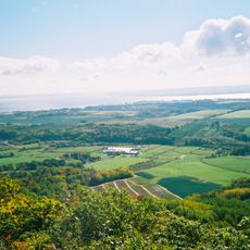
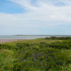
Wellington Dyke is an agricultural embankment in Nova Scotia that crosses the Canard River to protect farmland on either side. The structure consists of compacted earth and stone, forming a long elevated barrier between the communities of Starrs Point and Canard.
Local farmers began constructing the dyke in 1817 and completed it in 1825 after dealing with severe storms and financial obstacles. The extended construction period reflects the difficulties early settlers faced in protecting their agricultural lands from water.
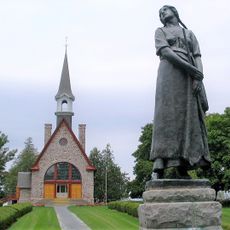
The dyke takes its name from the Duke of Wellington, reflecting British influence in the region following military victories in Europe. Today, the structure remains a visible reminder of how colonial powers shaped the identity of Nova Scotia communities.
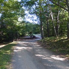
The best time to visit is during drier months when the paths along the dyke are easiest to walk on. The area is accessible from the nearby villages and offers good opportunities to walk along the structure and explore the surrounding farmland.
The structure broke from earlier traditional dyke designs by using increased height and width, establishing new standards for agricultural infrastructure in the region. This engineering approach allowed farmers to protect larger areas more effectively than previous systems could offer.
The community of curious travelers
AroundUs brings together thousands of curated places, local tips, and hidden gems, enriched daily by 60,000 contributors worldwide.