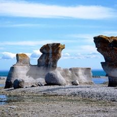
Gulf of Saint Lawrence, Bay in Minganie, Canada
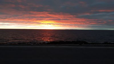
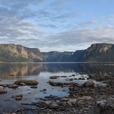
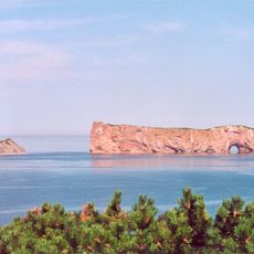
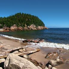
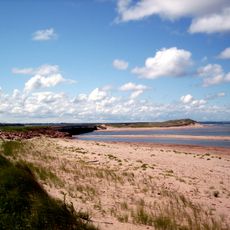
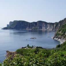
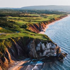
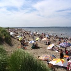
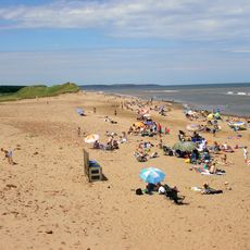
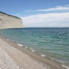
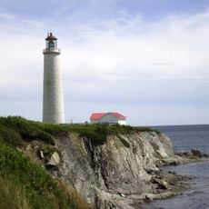
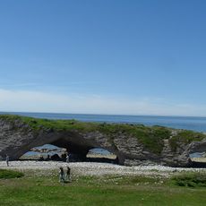
The Golfe du Saint-Laurent, also called the Gulf of St. Lawrence, is a bay in eastern Canada where the St. Lawrence River meets the Atlantic Ocean, bordered by the coasts of Quebec, Newfoundland, and the Maritime provinces. The water shifts between shades of blue and green depending on depth and weather, and the coastline alternates between rocky cliffs, forested shores, and scattered sandy beaches.
Jacques Cartier was the first European to chart the gulf in the 16th century, though Indigenous peoples such as the Mi'kmaq had hunted and fished these waters for thousands of years before his arrival. France and Britain later fought for control of the coastlines, as the gulf served as the main entry point into Canada and gave access to its cod-rich waters.
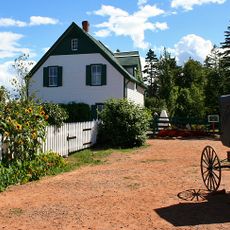
The gulf takes its name from Saint Lawrence, whose feast day fell on the day Jacques Cartier first sailed into the river mouth. Along the shore, you can still find communities where daily life follows the rhythm of the tides, with boats going out early and returning with lobster, crab, and scallops.
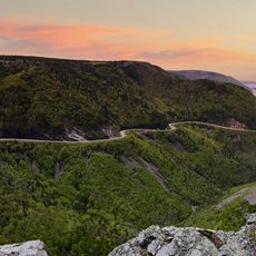
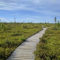
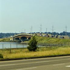
The region is large and sparsely populated, so having your own vehicle is the easiest way to travel along the coast. For remote villages not connected by road, ferries and small planes provide access, and in summer, boat tours let you see the coastline from the water.
The water in the gulf is a mix of fresh and salt water because the St. Lawrence River carries so much freshwater into the sea that salinity near the shore is noticeably lower than in the open ocean. This mix attracts beluga whales, which feed and breed in the shallower, brackish stretches along the coast.
The community of curious travelers
AroundUs brings together thousands of curated places, local tips, and hidden gems, enriched daily by 60,000 contributors worldwide.