Bernese Oberland, Alpine region in Bern, Switzerland
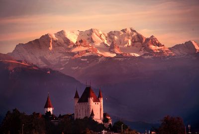
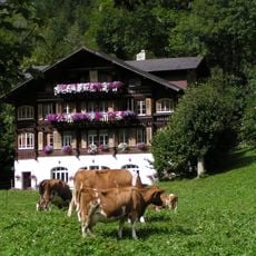
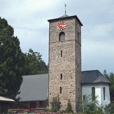
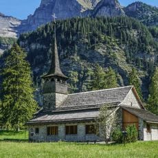
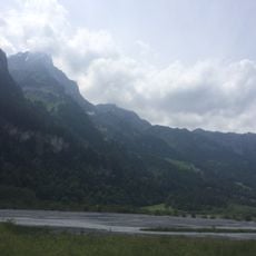
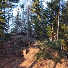
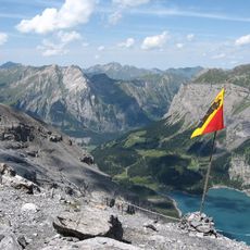
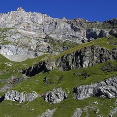
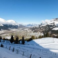
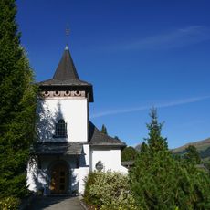
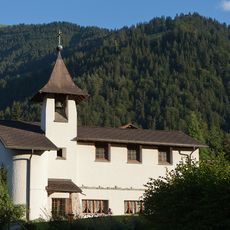
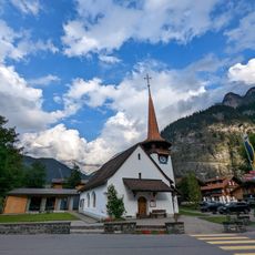
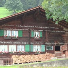
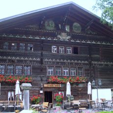
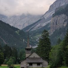
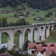
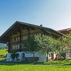
The Bernese Oberland spreads across the southern part of Bern canton, featuring mountains, valleys, and lakes such as Thun and Brienz with Interlaken serving as the central hub. The terrain includes steep peaks, deep gorges, dense forests, and meadows where villages cling to hillsides and pastoral fields occupy higher elevations.
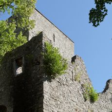
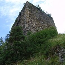
Between 1323 and 1400, Bern acquired the Oberland territories from local barons facing financial hardship who sold their lands. This gradual expansion established Bern's dominance and defined the region's political structure for the centuries ahead.
The region maintains distinct Swiss German dialects of Highest Alemannic, reflecting the geographical isolation of different valleys throughout centuries of settlement patterns.
Trains and cable cars link most towns and villages, with Interlaken serving as the main transit point for reaching places like Grindelwald, Wengen, and Mürren. Many mountain villages are pedestrian-only or vehicle-restricted, so relying on public transport and mountain railways is the practical way to get around.
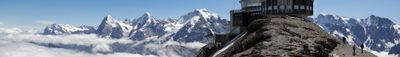
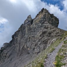
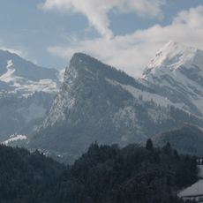
The Finsteraarhorn reaches 4,274 meters and stands as the highest peak in the Bernese Oberland, where several major glaciers meet. Most visitors overlook this remote peak entirely, focusing instead on more accessible summits and valleys below.
The community of curious travelers
AroundUs brings together thousands of curated places, local tips, and hidden gems, enriched daily by 60,000 contributors worldwide.