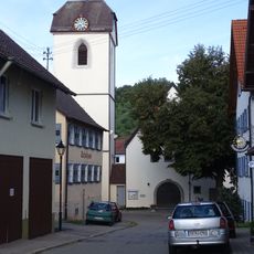
Herrenberg, Medieval market town in Baden-Württemberg, Germany
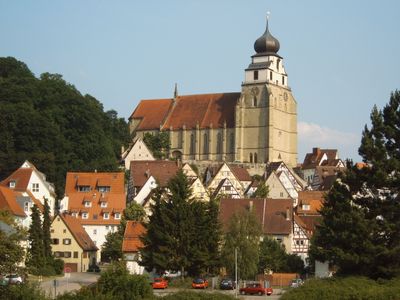
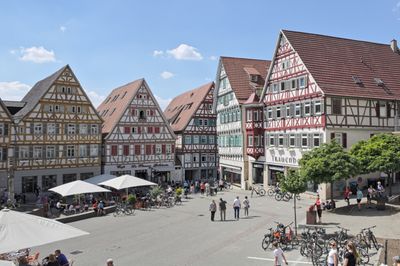
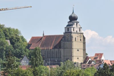
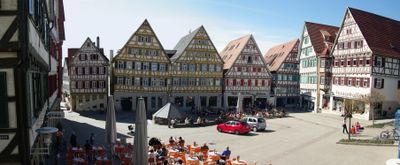
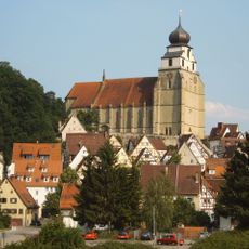
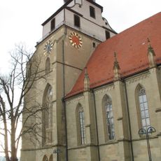
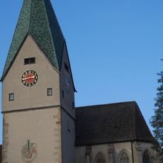
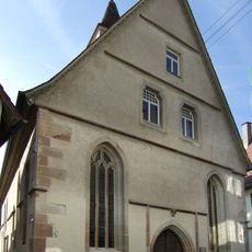
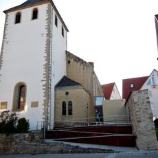
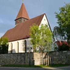
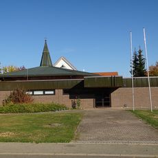
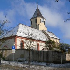
Herrenberg is a half-timbered town in Baden-Württemberg built on a hill south of Stuttgart. The collegiate church stands above the historic center and towers over the rooftops of the old town with its tall spire.
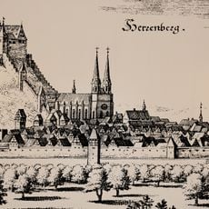
Two villages merged around 1200 into a fortified settlement that was first documented in 1228. The town layout received its current unified form after the fires of 1466 and 1635 through systematic reconstruction.
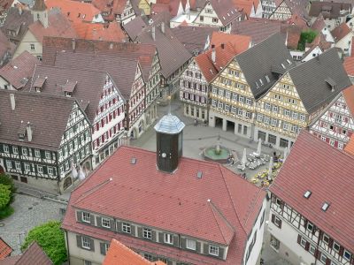
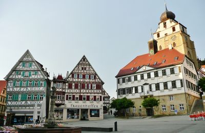
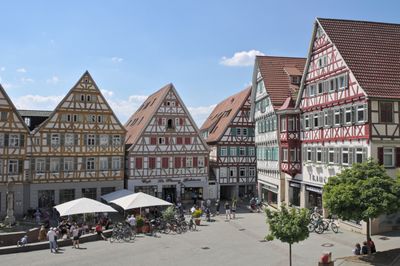
The town takes its name from the hill it was built on, and the central market square still serves as a meeting point for weekly markets and festivals. The surrounding half-timbered houses show different building techniques from the period after the great fires and shape the appearance of the old town.
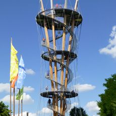
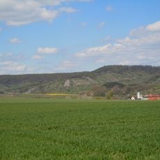
The old town sits on a hill and requires some fitness when climbing from the lower parts of town. The S1 suburban train line connects the place with Stuttgart and other regional towns.
The collegiate church houses a bell museum that traces the development of German bell casting through historical examples. The church nave contains 80 late medieval choir stalls that rank among the most important of their kind in southern Germany.
Location: Herrenberg VVG
Elevation above the sea: 460 m
Website: https://herrenberg.de
GPS coordinates: 48.59638,8.87024
Latest update: December 13, 2025 19:34
Schönbuch Tower
3 km
Stiftskirche Herrenberg
82 m
Glockenmuseum Stiftskirche Herrenberg
75 m
Schloss Herrenberg
301 mSchloss Sindlingen
5.3 km
Stellberg
3 km
Burg Müneck
7.7 kmAbbaye de Mönchberg
3.8 km
Nikomedes Church
7.8 km
Ammerquellen im Oberen Tal
1.7 km
Schönbuch-Westhang/Ammerbuch
7.6 km
Spitalkirche Herrenberg
62 m
Linde bei Hildrizhausen
8.5 km
Grafenberg
4.3 km
Burg Rohrau
4.6 kmKirchgasse 3
57 m
Stephanskirche Nebringen
4.1 km
Ammertal vom Ursprung bis zur Kochmühle mit Umgebung
1.7 km
Schönbuchrand unter den Rohrauer Köpfen
5.8 km
Gebiet um Kuppinger und Jettinger Weg
3.5 km
Hildrizhausen (5 Teilgebiete)
7 km
Stephanuskirche
2.9 km
Gesamtanlage Herrenberg
14 m
Heilig-Kreuz- and Wendelinchurch
7.2 km
St. Maria Nufringen
3 km
Double bind
608 m
Peterskirche
2.5 km
Schönbuchrand von der Regierungsbezirksgrenze im SO des Landkreises bis zum Gewann 'Horn' und Gemarkung Gültstein
4.1 kmVisited this place? Tap the stars to rate it and share your experience / photos with the community! Try now! You can cancel it anytime.
Discover hidden gems everywhere you go!
From secret cafés to breathtaking viewpoints, skip the crowded tourist spots and find places that match your style. Our app makes it easy with voice search, smart filtering, route optimization, and insider tips from travelers worldwide. Download now for the complete mobile experience.
A unique approach to discovering new places❞
— Le Figaro
All the places worth exploring❞
— France Info
A tailor-made excursion in just a few clicks❞
— 20 Minutes