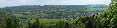
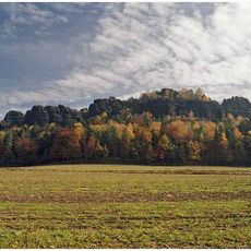
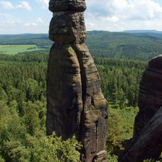
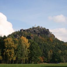
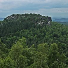
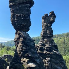
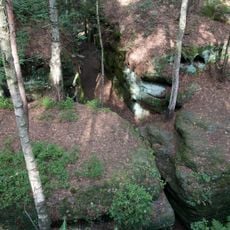
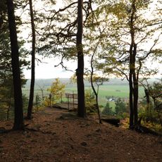
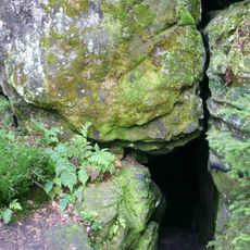
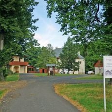
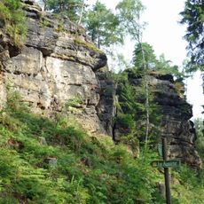
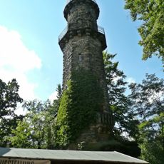
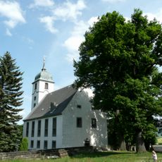
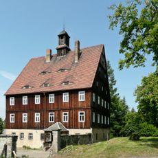
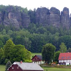
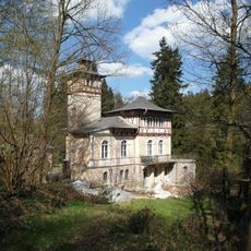
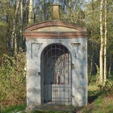
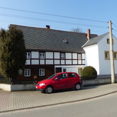
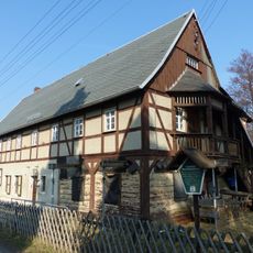
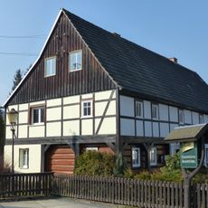
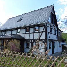
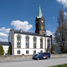
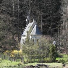
Rosenthal-Bielatal, municipality in the Sächsische Schweiz-Osterzgebirge district, in Saxony, Germany
Location: Verwaltungsgemeinschaft Königstein/Sächs. Schw.
Location: Sächsische Schweiz-Osterzgebirge
Elevation above the sea: 408 m
Shares border with: Bad Gottleuba-Berggießhübel, Děčín, Jílové, Tisá
Website: http://rosenthal-bielatal.de
GPS coordinates: 50.86667,14.05000
Latest update: March 6, 2025 00:02
Pfaffenstein
4.2 km
Barbarine
4.2 km
Papststein
6.3 km
Gohrisch
5.8 km
Herkulessäulen
2.8 km
Labyrinth (Sächsische Schweiz)
2.7 km
Napoleonstein
3.2 km
Bennohöhle
3.7 km
Kristin Hrádek
6.4 km
Lampertsstein
2 km
Kirche Cunnersdorf
5 km
Aussichtsturm Pfaffenstein
4.2 km
Church in Papstdorf
6.5 km
Forsthof
5.3 km
Pfaffenstein
4.2 km
Jagdschloss Bielatal
1.3 km
Kaplička
6.9 km
Cunnersdorfer Straße 22 Cunnersdorf
5.3 km
Cunnersdorfer Straße 37 Cunnersdorf
5.1 km
Cunnersdorfer Straße 52 Cunnersdorf
4.9 km
Cunnersdorfer Straße 4 Cunnersdorf
5.1 km
Ottomühle Rosenthal
3.4 km
Dorfkirche Rosenthal-Bielatal
2.3 km
Pfarrhaus mit Inschrifttafel Kirchgasse 1
2.3 km
Waldkapelle
2.1 km
Wegestein Bielatal
5.4 km
Berggasthof Pfaffenstein
4.2 km
Cunnersdorfer Straße 12 Cunnersdorf
5.3 kmReviews
Visited this place? Tap the stars to rate it and share your experience / photos with the community! Try now! You can cancel it anytime.
Discover hidden gems everywhere you go!
From secret cafés to breathtaking viewpoints, skip the crowded tourist spots and find places that match your style. Our app makes it easy with voice search, smart filtering, route optimization, and insider tips from travelers worldwide. Download now for the complete mobile experience.
A unique approach to discovering new places❞
— Le Figaro
All the places worth exploring❞
— France Info
A tailor-made excursion in just a few clicks❞
— 20 Minutes