Chest opened
+${chestReward.xp} XP
Explorer
NOUVEAU ×${chestReward.collectible.quantity}
tapez pour fermer

See the monuments around you in AR Open chests in the app

Around Us is built for your phone — point your camera at the streets and discover the monuments and places around you in augmented reality. Around Us is built for your phone — chests unlock when you walk, explore and capture nearby places.

•

Enable Location

We need your location to show you interesting places around you

Discover nearby places

Find interesting locations and hidden gems around you

Precise directions

Get accurate directions and distances to places

Your location is never shared with other users. It's only used when you tap the location button.

Napoleonstein

Log in to your account

Start exploring — it's free

Trusted by 94,532 travelers worldwide

Continue with Google
Continue with Apple
or

We will send you a code to connect

By continuing, you accept our Terms and Conditions and our Privacy Policy

Check your inbox

We've sent a pincode in your inbox. Please enter the code below.

Napoleonstein

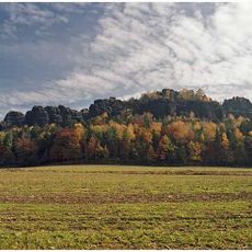
Napoleonstein, Sandstone rock formation in Saxon Switzerland National Park, Germany

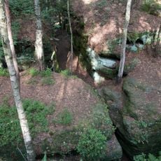
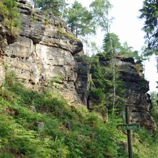
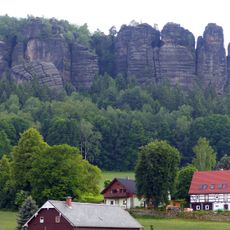
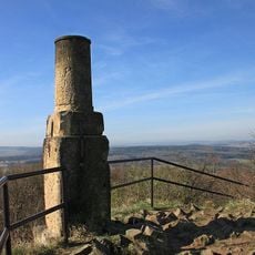
Napoleonstein is a sandstone rock formation in Saxon Switzerland that rises prominently from the surrounding forest. The site connects to hiking trails that link it with other rocky outcrops in this geologically distinctive area.

The name refers to the tradition that Napoleon Bonaparte watched his army's movements from this rock after the Battle of Kulm in late August 1813 and was nearly hit by a Russian cannonball. On 27 and 28 August 1813 French troops stationed here drove off isolated Russian units.

The name recalls a tradition that Napoleon Bonaparte watched his army's movements here in late August 1813 and narrowly escaped a Russian cannonball. French troops were stationed on the rock on 27 and 28 August 1813 and drove off isolated Russian units. A bench and two information boards stand at the viewpoint.

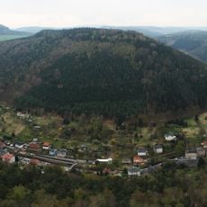
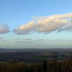
Napoleonstein is reached via two forest paths from the Hohe Straße (S 169); the village of Langenhennersdorf lies directly below the rock. A bench and two information boards stand at the viewpoint. The panorama runs from the southeast over the west to about the northwest, with the wooded valley of the Bahra in the centre.

The rock is a small group of Cretaceous Elbe sandstone crags, assigned to the Middle Turonian, in the transition between the Postelwitz and Schrammstein beds. A bench and two information boards stand at the viewpoint, and the Labyrinth rock group lies a short distance to the east.

The community of curious travelers

AroundUs brings together thousands of curated places, local tips, and hidden gems, enriched daily by 94,532 contributors worldwide.

Start exploring
GPS coordinates
50.88704,14.01746
Latest update
October 25, 2026 17:16
Around this place
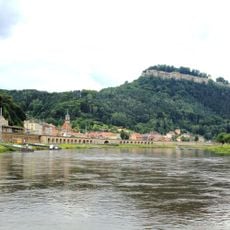
Königstein Fortress
Germany

Königstein Fortress

2.8 mi
Pfaffenstein
Germany

Pfaffenstein

2.9 mi
Labyrinth (Sächsische Schweiz)
Germany

Labyrinth (Sächsische Schweiz)

0.6 mi
Königstein
Germany

Königstein

2.9 mi
Quirl
Germany

Quirl

2.4 mi
Cottaer Spitzberg
Germany

Cottaer Spitzberg

2.3 mi
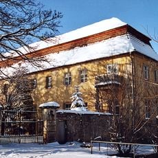
Schloss Cotta
Germany

Schloss Cotta

2.6 mi
Lampertsstein
Germany

Lampertsstein

2.5 mi
Aussichtsturm Pfaffenstein
Germany

Aussichtsturm Pfaffenstein

2.9 mi
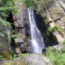
Langenhennersdorfer Wasserfall
Germany

Langenhennersdorfer Wasserfall

1.3 mi
Pfaffenstein
Germany

Pfaffenstein

2.8 mi
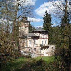
Jagdschloss Bielatal
Germany

Jagdschloss Bielatal

2.3 mi
Cotta B 3 Dohma
Germany

Cotta B 3 Dohma

2.2 mi
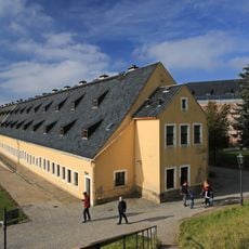
Alte Kaserne (Festung Königstein)
Germany

Alte Kaserne (Festung Königstein)

2.8 mi
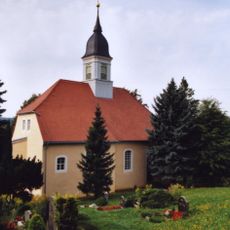
Kirche Cotta
Germany

Kirche Cotta

2.6 mi
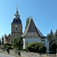
Langenhennersdorf church
Germany

Langenhennersdorf church

0.4 mi
Schacht 390
Germany

Schacht 390

2 mi
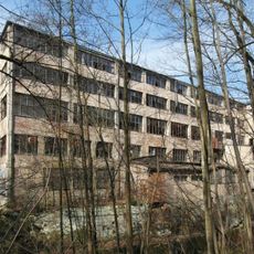
Pappenfabrik Zacharias Ostushenrichwerke
Germany

Pappenfabrik Zacharias Ostushenrichwerke

1.3 mi
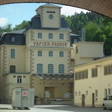
Papierfabrik Louisenthal, Werk Königstein
Germany

Papierfabrik Louisenthal, Werk Königstein

2.1 mi
Station 57 Cottaer Spitzberg
Germany

Station 57 Cottaer Spitzberg

2.3 mi
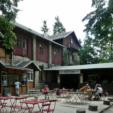
Berggasthof Pfaffenstein
Germany

Berggasthof Pfaffenstein

2.9 mi
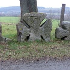
Steinkreuz-Gruppe Cotta
Germany

Steinkreuz-Gruppe Cotta

2.5 mi
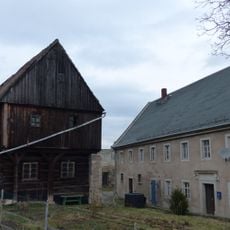
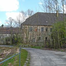
Rittergut Langenhennersdorf
Germany

Rittergut Langenhennersdorf

0.4 mi
Einzeldenkmale der Sachgesamtheit Rittergut Langenhennersdorf: Herrenhaus über winkligem Grundriss, Wirtschaftsflügel, bestehend aus fünf Gebäuden sowie Toreinfahrt mit zwei Torpfeilern und Gitter (Einzeldenkmal zu ID-Nr. 09304530) Am Sportplatz
Germany

Einzeldenkmale der Sachgesamtheit Rittergut Langenhennersdorf: Herrenhaus über winkligem Grundriss, Wirtschaftsflügel, bestehend aus fünf Gebäuden sowie Toreinfahrt mit zwei Torpfeilern und Gitter (Einzeldenkmal zu ID-Nr. 09304530) Am Sportplatz

0.4 mi
Schacht 388
Germany

Schacht 388

2 mi
Sachgesamtheit '''Festung Königstein mit Rayon''' mit Einzeldenkmalen, u. a. Torhaus, Kommandantenhaus, Georgenburg, Neues Zeughaus und Caponnierengang, Brunnenhaus, Magdalenenburg, St. Georgs-Kapelle, Alte Kaserne, Schatzhaus, Hauptwache sowie Gär
Germany

Sachgesamtheit '''Festung Königstein mit Rayon''' mit Einzeldenkmalen, u. a. Torhaus, Kommandantenhaus, Georgenburg, Neues Zeughaus und Caponnierengang, Brunnenhaus, Magdalenenburg, St. Georgs-Kapelle, Alte Kaserne, Schatzhaus, Hauptwache sowie Gär

2.6 mi
'''Festung Königstein''' – Torhaus, Kommandantenhaus, Georgenburg, Neues Zeughaus und Caponnierengang, Brunnenhaus, Magdalenenburg, St. Georgs-Kapelle, dazugehörend die fortifikatorischen Anlagen (Einzeldenkmale zu ID-Nr. 09301198) Alte Festungss
Germany

'''Festung Königstein''' – Torhaus, Kommandantenhaus, Georgenburg, Neues Zeughaus und Caponnierengang, Brunnenhaus, Magdalenenburg, St. Georgs-Kapelle, dazugehörend die fortifikatorischen Anlagen (Einzeldenkmale zu ID-Nr. 09301198) Alte Festungss

2.6 mi
Brennofen zur Eisengussherstellung Bielatal
Germany

Brennofen zur Eisengussherstellung Bielatal

2.2 mi
Show the full map
Reviews
Share your experience

No review yet

Discussions
Start a discussion...

No discussion yet

« Napoleonstein - Sandstone rock formation in Saxon Switzerland National Park, Germany » is provided by Around Us (aroundus.com). Images and texts are derived from Wikimedia project under a Creative Commons license. You are allowed to copy, distribute, and modify copies of this page, under the conditions set by the license, as long as this note is clearly visible.

Discover hidden gems everywhere you go!

From secret cafés to breathtaking viewpoints, skip the crowded tourist spots and find places that match your style. Our app makes it easy with voice search, smart filtering, route optimization, and insider tips from travelers worldwide. Download now for the complete mobile experience.
Around Us App Screenshot
❝

A unique approach to discovering new places❞

— Le Figaro

❝

All the places worth exploring❞

— France Info

❝

A tailor-made excursion in just a few clicks❞

— 20 Minutes

Around Us
Travel Guide & Maps
Download

Send to your phone

QR Code
1

Open the camera app on your mobile.

2

Point at the QR code with your camera. A notification will appear.

3

Tap the notification to open the link.