
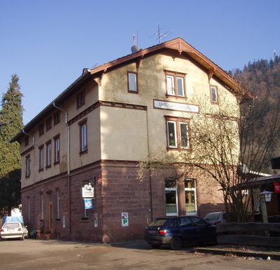
Unterreichenbach, municipality in Baden-Württemberg, Germany
Location: Calw District
Location: Bad Liebenzell VVG
Elevation above the sea: 328 m
Website: https://unterreichenbach.de
GPS coordinates: 48.82556,8.71056
Latest update: March 3, 2025 00:16
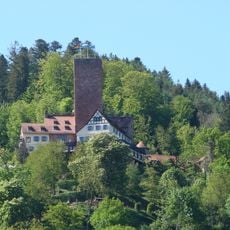
Liebenzell Castle
5.5 km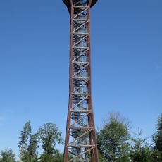
Hohe Warte Observation Tower
962 m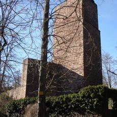
Burg Liebeneck
3.3 km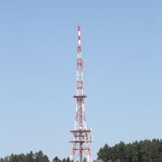
Nordschwarzwaldturm
6.5 km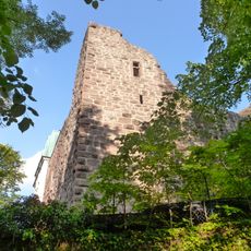
Burg Rabeneck
5.2 km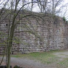
Burgruine Kräheneck
5.3 km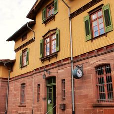
Pforzheim-Weißenstein station
5.1 km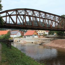
Bahnbrücke Unterreichenbach
109 m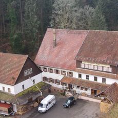
Obere Kapfenhardter Mühle
2.7 km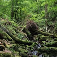
Monbach, Maisgraben und St. Leonhardquelle (2 Teilgebiete)
4.3 km
Langenbrander Höhe
7.2 km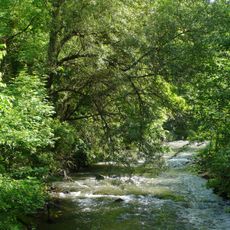
Unteres Würmtal
4.1 km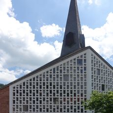
St. Lioba
5.9 km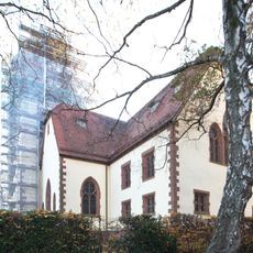
Bergkirche Büchenbronn
4.8 km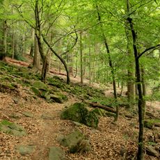
Klebwald
470 m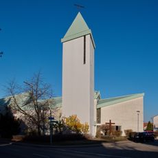
Heilig-Kreuz-Kirche
5.1 km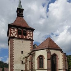
St. Blasius
5.9 km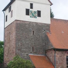
Ulrichskirche Langenbrand
6.1 km
Bad Liebenzell Kurhaus
6.3 km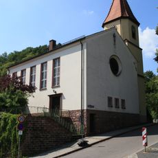
Heiliggeistkirche Dillweißenstein
5.2 km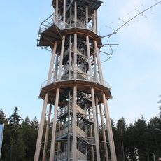
Aussichtsturm Himmelsglück
6.5 km
Monbach, Maisgraben und St. Leonhardquelle
5.4 km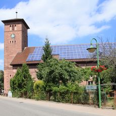
Evangelische Kirche Schömberg
6.3 km
Kurtheater
6.4 km
Kurhaus Bad Liebenzell
6.3 km
Klebwald
579 m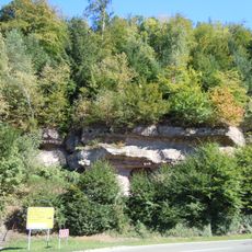
Beutelstein
6 km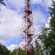
Büchenbronn Observation Tower
5.4 kmVisited this place? Tap the stars to rate it and share your experience / photos with the community! Try now! You can cancel it anytime.
Discover hidden gems everywhere you go!
From secret cafés to breathtaking viewpoints, skip the crowded tourist spots and find places that match your style. Our app makes it easy with voice search, smart filtering, route optimization, and insider tips from travelers worldwide. Download now for the complete mobile experience.

A unique approach to discovering new places❞
— Le Figaro
All the places worth exploring❞
— France Info
A tailor-made excursion in just a few clicks❞
— 20 Minutes