Bad Grund, municipality of Germany
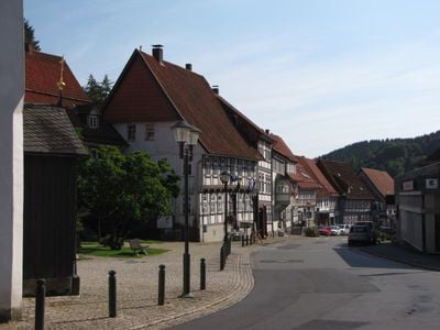
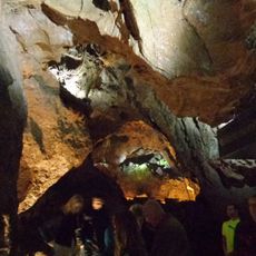
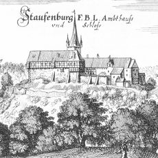
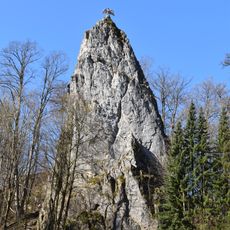
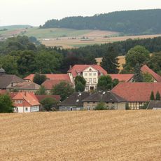
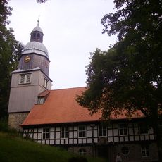
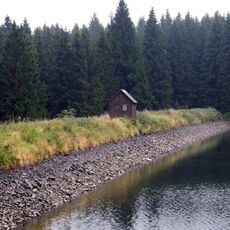
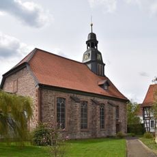
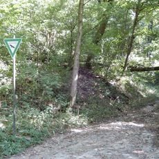
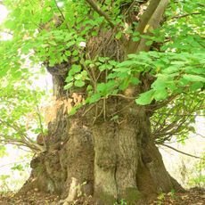
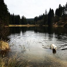
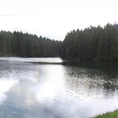
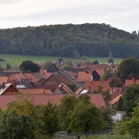
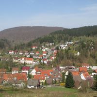
Bad Grund is a spa town in the Harz Mountains situated in a valley surrounded by thick forests. The town combines mineral springs with historical sites such as castle ruins and a mining museum, alongside natural attractions like stalactite caves and waterfalls.
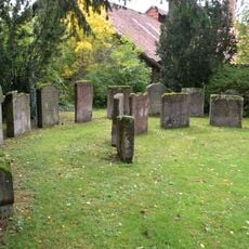
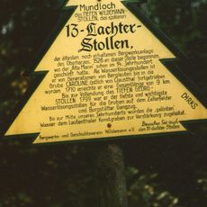
Bad Grund was founded as the oldest town in the Upper Harz region and gained recognition as a spa town in 1855. The town grew through mining and salt production, industries that shaped local life for centuries.
The name Bad Grund comes from the healing springs that flow through the valley and shaped its identity as a spa destination. Today, life in the town centers on wellness traditions and a deep connection to the surrounding landscape.
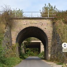
The town is accessible by local roads and a narrow-gauge railway, making it easy to reach. Good walking trails connect different attractions and allow exploration on foot or by bicycle.
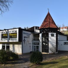
The town houses a clock museum with over 1,600 different timepieces, displaying how clock technology evolved over generations. This unusual museum offers a look into an often-overlooked side of local collecting culture.
The community of curious travelers
AroundUs brings together thousands of curated places, local tips, and hidden gems, enriched daily by 60,000 contributors worldwide.