Enable Location

We need your location to show you interesting places around you

Discover nearby places

Find interesting locations and hidden gems around you

Precise directions

Get accurate directions and distances to places

Your location is never shared with other users. It's only used when you tap the location button.

Dobel

Log in to your account

Start exploring — it's free

Trusted by 63,237 travelers worldwide

Continue with Google
Continue with Apple
or

We will send you a code to connect

By continuing, you accept our Terms and Conditions and our Privacy Policy

Check your inbox

We've sent a pincode in your inbox. Please enter the code below.

Discussion Reviews 1 Photos
16.7k Popularity

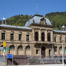
Dobel, municipality in Baden-Württemberg, Germany

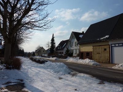
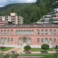
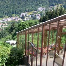
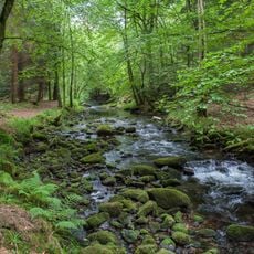
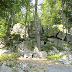
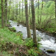
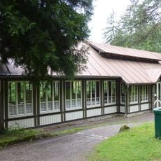
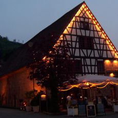
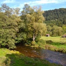
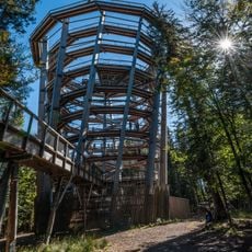
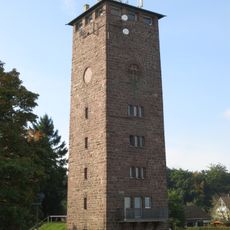
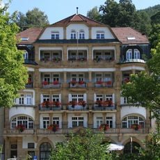
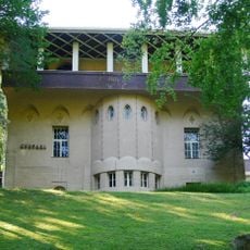
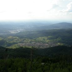
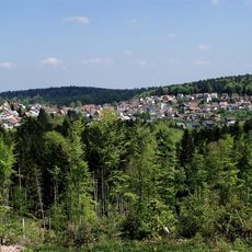
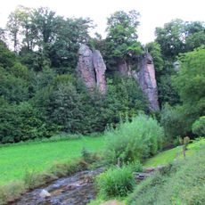
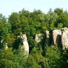
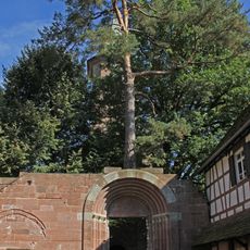
Dobel is a village situated on a sunny high plateau in the Black Forest. It features quiet streets lined with traditional wooden and stone houses nestled among rolling hills and dense forests, creating a peaceful rural setting. An old water tower now serves as an observation point offering broad views across the surrounding landscape.

Dobel became part of the Duchy of Württemberg in 1527 and passed through various administrative changes until its inclusion in Calw District in 1938. Following World War II, the village expanded eastward, incorporated the small village of Lehensägmühle in 1973, and gained official recognition as a climatic health resort in 1984.

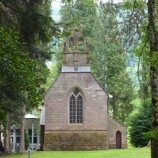
The name Dobel may derive from historical wood-working traditions in the region. Today, the village culture centers on quiet gatherings in local cafes, seasonal festivals on the town square, and a strong connection to nature that shapes daily life and community activities.

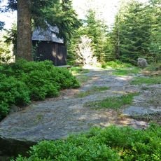
The village sits at approximately 700 meters elevation on an easily accessible plateau and is well-connected by car and regular bus service. Most visitor activities center on hiking and winter cross-country skiing along marked trails that are easily reached from the village streets.

The village coat of arms features a rising sun behind a green three-pointed hill, symbolizing its sunny high plateau location and rolling landscape. This design, established in 1939 and officially approved in 1968, embodies the place's identity as a bright mountain settlement.

The community of curious travelers

AroundUs brings together thousands of curated places, local tips, and hidden gems, enriched daily by 60,000 contributors worldwide.

Start exploring
Location
Location
Bad Herrenalb VVG
Elevation above the sea
689 m
Shares border with
Bad Herrenalb, Straubenhardt, Neuenbürg, Bad Wildbad, Gernsbach
GPS coordinates
48.79806,8.49444
Latest update
February 17, 2026 01:40
Reviews
Share your experience

No review yet

Discussions
Start a discussion...

No discussion yet

« Dobel - municipality in Baden-Württemberg, Germany » is provided by Around Us (aroundus.com). Images and texts are derived from Wikimedia project under a Creative Commons license. You are allowed to copy, distribute, and modify copies of this page, under the conditions set by the license, as long as this note is clearly visible.

Discover hidden gems everywhere you go!

From secret cafés to breathtaking viewpoints, skip the crowded tourist spots and find places that match your style. Our app makes it easy with voice search, smart filtering, route optimization, and insider tips from travelers worldwide. Download now for the complete mobile experience.

Around Us App Screenshot

A unique approach to discovering new places

Le Figaro

All the places worth exploring

France Info

A tailor-made excursion in just a few clicks

20 Minutes

Around Us
Travel Guide & Maps
Download

Send to your phone

QR Code
1

Open the camera app on your mobile.

2

Point at the QR code with your camera. A notification will appear.

3

Tap the notification to open the link.