Enable Location

We need your location to show you interesting places around you

Discover nearby places

Find interesting locations and hidden gems around you

Precise directions

Get accurate directions and distances to places

Your location is never shared with other users. It's only used when you tap the location button.

Friedrichsfelde

Log in to your account

Start exploring — it's free

Trusted by 62,061 travelers worldwide

Continue with Google
Continue with Apple
or

We will send you a code to connect

By continuing, you accept our Terms and Conditions and our Privacy Policy

Check your inbox

We've sent a pincode in your inbox. Please enter the code below.

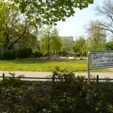
Friedrichsfelde, Administrative district in Lichtenberg, Germany.

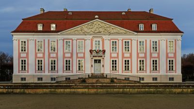
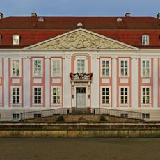
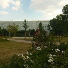
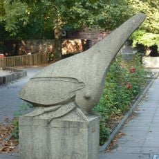
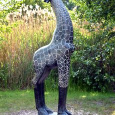
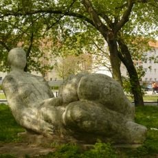
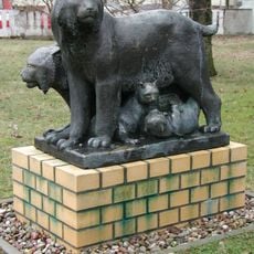
Friedrichsfelde is an administrative district in eastern Berlin that combines residential neighborhoods with historical structures and a major zoological garden. The zoo, which includes a palace, forms the most distinctive feature of this locality.

Originally called Rosenfelde, the area received its current name in 1699 from Prince-Elector Frederick III of Brandenburg. It became part of Berlin in 1920, marking the beginning of its integration into the city's urban fabric.

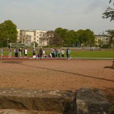
The palace within the zoo grounds remains a focal point where visitors experience layers of the past while walking through modern recreational spaces. Locals and tourists move through these grounds for leisure, making the site a working part of contemporary life rather than a museum.

The district is well served by public transportation with multiple S-Bahn, U-Bahn, and tram connections linking it to the rest of Berlin. Walking between different areas is straightforward, and most attractions are accessible without difficulty.

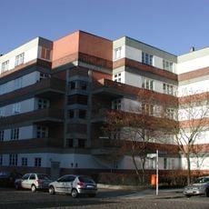
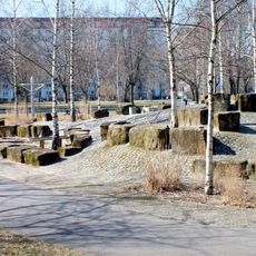
The Splanemann Settlement, built between 1926 and 1930, was Germany's first large-scale prefabricated housing project. This development demonstrates an early experiment in rapidly producing affordable housing through industrialized construction methods.

The community of curious travelers

AroundUs brings together thousands of curated places, local tips, and hidden gems, enriched daily by 60,000 contributors worldwide.

Start exploring
Location
Elevation above the sea
39 m
Shares border with
Karlshorst, Rummelsburg, Lichtenberg, Marzahn, Biesdorf
GPS coordinates
52.50580,13.51920
Latest update
December 7, 2025 19:30
« Friedrichsfelde - Administrative district in Lichtenberg, Germany » is provided by Around Us (aroundus.com). Images and texts are derived from Wikimedia project under a Creative Commons license. You are allowed to copy, distribute, and modify copies of this page, under the conditions set by the license, as long as this note is clearly visible.

Discover hidden gems everywhere you go!

From secret cafés to breathtaking viewpoints, skip the crowded tourist spots and find places that match your style. Our app makes it easy with voice search, smart filtering, route optimization, and insider tips from travelers worldwide. Download now for the complete mobile experience.

Around Us App Screenshot

A unique approach to discovering new places

Le Figaro

All the places worth exploring

France Info

A tailor-made excursion in just a few clicks

20 Minutes

Around Us
Travel Guide & Maps
Download

Send to your phone

QR Code
1

Open the camera app on your mobile.

2

Point at the QR code with your camera. A notification will appear.

3

Tap the notification to open the link.