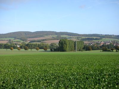
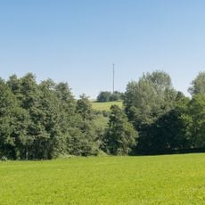
Dörenberg, Mountain summit in Lipper Bergland, Germany.
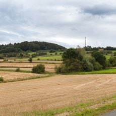
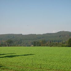
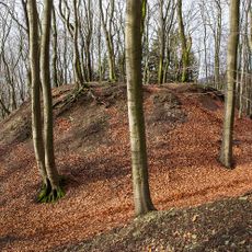
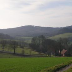
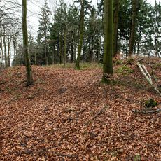
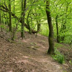
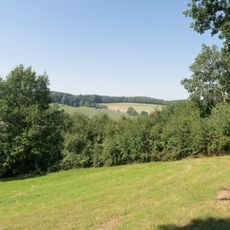
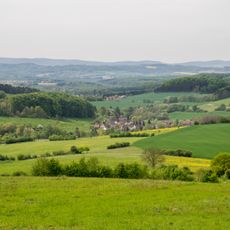
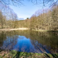
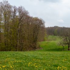
Dörenberg is a mountain summit in the Lipper Bergland that reaches 392 meters in elevation. Dense forest covers the slopes and peak, with expansive views stretching across the Teutoburg Forest and the valleys below.
Military installations including a radar station and missile launch site were built near the summit during the Cold War era. These strategic facilities were decommissioned after the conflict ended.
The mountain name derives from Low German language, where 'Dör' refers to a hill or mountain pass, reflecting regional linguistic heritage.
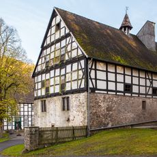
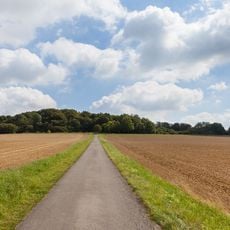
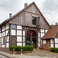
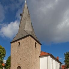
Several marked hiking trails reach the summit, including the Hansaweg and Burgensteig routes. The nearby town of Bösingfeld serves as a convenient starting point for accessing these paths.
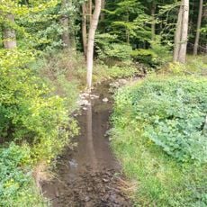
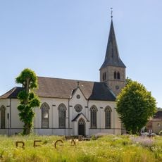
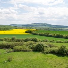
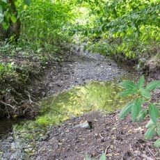
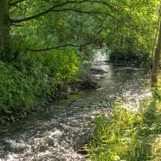
The mountain forms a natural watershed that divides the Exter River valley from the Bega River valley. This geographical role has shaped water drainage patterns in the southwestern region for centuries.
The community of curious travelers
AroundUs brings together thousands of curated places, local tips, and hidden gems, enriched daily by 60,000 contributors worldwide.