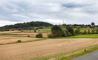
Hohe Asch, Mountain summit in Lipper Bergland, Germany.
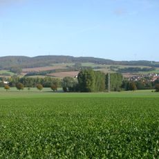
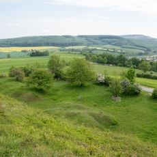
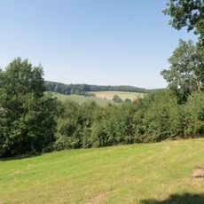
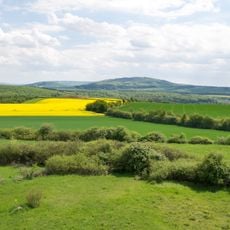
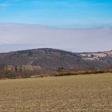
Hohe Asch is a mountain summit in Lipper Bergland rising to approximately 371 meters and marking the transition zone between this region and the northeastern Weserbergland. A concrete observation tower stands on the peak, providing views across the surrounding terrain.
The concrete observation tower was built in 1980, marking an important step in making the summit accessible to the general public. This construction allowed the location to develop as a popular destination for day visitors.
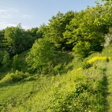
The mountain serves as a junction for multiple hiking routes, including the European long-distance trail E1, linking nearby communities through outdoor recreation. Visitors encounter different paths that crisscross the area and connect the surrounding landscape.
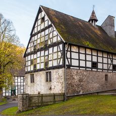
The mountain is best reached via Kreisstraße 57, which runs westward from Bösingfeld through Hummerbruch to Alverdissen. Visitors should wear sturdy footwear since the hiking routes across the slopes present varying terrain conditions.
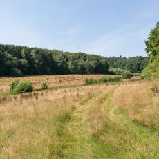
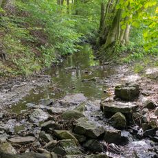
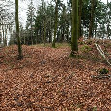
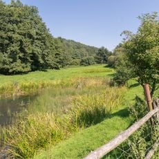
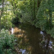
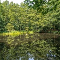
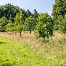
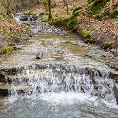
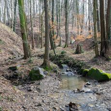
Two nature reserves, Heimbachtal and Hummerbachtal, border the mountain and form distinct ecological zones on its slopes. These protected areas shelter diverse wildlife and shape the natural character of the region.
The community of curious travelers
AroundUs brings together thousands of curated places, local tips, and hidden gems, enriched daily by 60,000 contributors worldwide.