Chest opened
+${chestReward.xp} XP
Explorer
NOUVEAU ×${chestReward.collectible.quantity}
tapez pour fermer
Chest locked

Open chests in the app

Around Us is built for your phone — chests unlock when you walk, explore and capture nearby places.

Enable Location

We need your location to show you interesting places around you

Discover nearby places

Find interesting locations and hidden gems around you

Precise directions

Get accurate directions and distances to places

Your location is never shared with other users. It's only used when you tap the location button.

Log in to your account

Start exploring — it's free

Trusted by 72,878 travelers worldwide

Continue with Google
Continue with Apple
or

We will send you a code to connect

By continuing, you accept our Terms and Conditions and our Privacy Policy

Check your inbox

We've sent a pincode in your inbox. Please enter the code below.

Roßfeldhöhenringstraße
Discussion Reviews Photo
16.6k Popularity

Roßfeldhöhenringstraße, Straße im Berchtesgadener Land

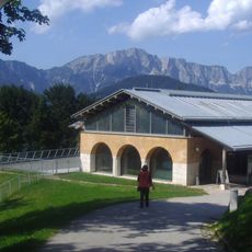
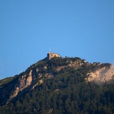
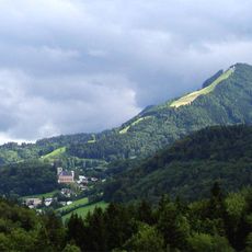
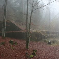
The Roßfeldhöhenringstraße is a mountain road in Bavaria running at an elevation of about 1570 meters across a limestone plateau, offering wide views of the surrounding landscape. The well-maintained route circles the mountain ridge in a ring shape, allowing drivers to experience different perspectives of the Alps and valleys below.

The road was built in the late 1930s to create tourist access to the mountain region. After World War II it was completed, and in the 1950s it became a toll road under an agreement between Germany and Austria for shared use.

The road's name reflects its high elevation and circular path across the mountain ridge. Visitors naturally stop at viewing points along the route to pause and take in the landscape, making it an important place for experiencing nature close at hand.

The route is open year-round but may close temporarily due to snow in winter. Visitors should look for parking areas along the route and check weather conditions before driving, as rain and snow can make travel difficult.

The Roßfeldrennen, a mountain hill climb from past decades, made the road famous among racers and spectators. Today the area is also used for skiing in winter, making it known for multiple types of activity.

The community of curious travelers

AroundUs brings together thousands of curated places, local tips, and hidden gems, enriched daily by 60,000 contributors worldwide.

Start exploring
Location
GPS coordinates
47.62600,13.09210
Latest update
February 17, 2026 02:01
Reviews
Share your experience

No review yet

Discussions
Start a discussion...

No discussion yet

« Roßfeldhöhenringstraße - Straße im Berchtesgadener Land » is provided by Around Us (aroundus.com). Images and texts are derived from Wikimedia project under a Creative Commons license. You are allowed to copy, distribute, and modify copies of this page, under the conditions set by the license, as long as this note is clearly visible.

Discover hidden gems everywhere you go!

From secret cafés to breathtaking viewpoints, skip the crowded tourist spots and find places that match your style. Our app makes it easy with voice search, smart filtering, route optimization, and insider tips from travelers worldwide. Download now for the complete mobile experience.

Around Us App Screenshot

A unique approach to discovering new places

Le Figaro

All the places worth exploring

France Info

A tailor-made excursion in just a few clicks

20 Minutes

Around Us
Travel Guide & Maps
Download

Send to your phone

QR Code
1

Open the camera app on your mobile.

2

Point at the QR code with your camera. A notification will appear.

3

Tap the notification to open the link.