Sauerland-Höhenflug, Marked hiking trail in Sauerland region, Germany
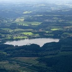
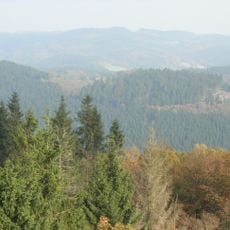
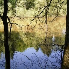
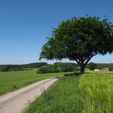
The Sauerland-Höhenflug is a marked hiking trail that stretches approximately 250 kilometers through the Sauerland region in North Rhine-Westphalia. The path crosses dense forests, mountain ridges, high moors, and open meadows with a total elevation gain of 5,200 meters and descent of 5,000 meters, reaching its highest point at 838 meters above sea level.
The trail connects the medieval Altena Castle with Korbach, a town once shaped by mining activities, reflecting centuries of regional development. This connection demonstrates how both locations influenced the industrial and economic history of the Sauerland.
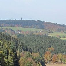
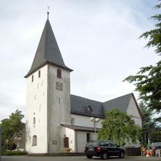
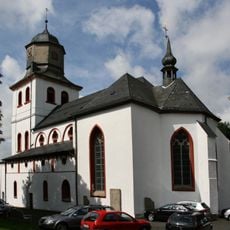
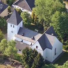
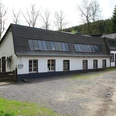
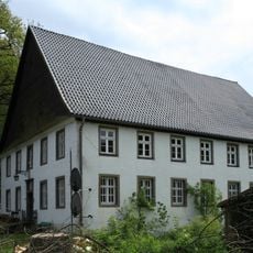
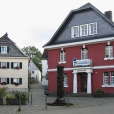
The trail passes through villages like Schmallenberg, where traditional half-timbered houses line the streets, and Attendorn, situated near a significant cave system. Visitors experience the rural character of the region and its deep connection to the natural landscape.
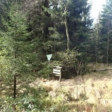
The trail is well-marked throughout with clear signage, and rest areas are regularly spaced along the route. Visitors should wear sturdy footwear and bring weather-appropriate clothing, as conditions vary with the season and elevation changes along the path.
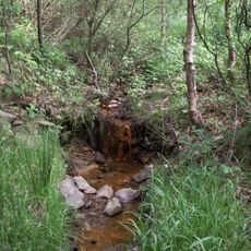
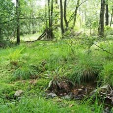
A section of the trail passes through the Medebach European bird sanctuary, where hikers can observe rare and protected bird species in their natural surroundings. This opportunity for birdwatching adds a special dimension for nature enthusiasts along the route.
The community of curious travelers
AroundUs brings together thousands of curated places, local tips, and hidden gems, enriched daily by 60,000 contributors worldwide.