
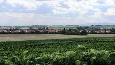
Leiselheim, human settlement in Germany
Location: Worms
Elevation above the sea: 110 m
Shares border with: Klinikum Worms
GPS coordinates: 49.64110,8.30861
Latest update: March 7, 2025 23:19

Herrnsheimer Schloss
2.5 km
Eleonoren-Gymnasium
3 km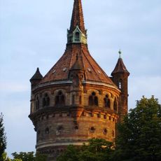
Wasserturm
3.1 km
Lutherkirche
3 km
Heinrich-Völker-Bad
2.3 km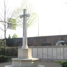
Hauptfriedhof Worms
1.9 km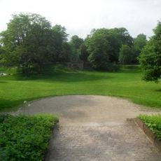
Karl-Bittel-Park
2 km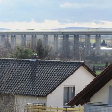
Talbrücke Pfeddersheim
1.1 km
Kollegiatstift St. Cyriacus, Worms-Neuhausen
3.2 km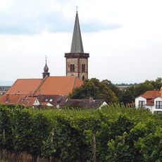
Church of the Assumption
2.4 km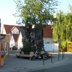
Lutherbaum
1.6 km
St. Peter
2.4 km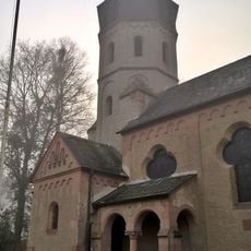
Gottliebenkapelle
1.8 km
Bergkirche Worms
1.8 km
Maria Himmelskron
1.6 km
Neuer jüdischer Friedhof Worms
2.1 km
Alter Friedhof
2.5 km
Protestant Church (Worms-Leiselheim)
126 m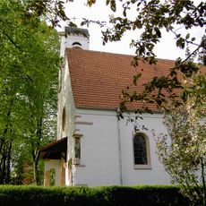
St. Laurentius
90 m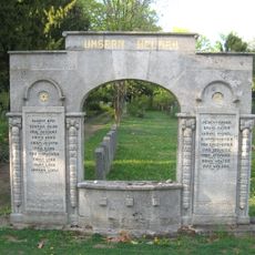
Monumento a los combatientes judíos (Worms)
2.1 km
Jewish cemetery, Worms-Herrnsheim
2.5 km
Gaustraße 108
3.2 km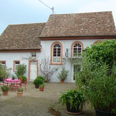
Synagoge Worms-Pfeddersheim
2.1 km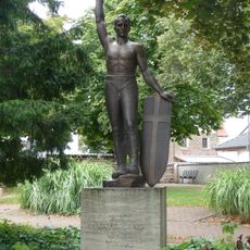
Kriegerdenkmal Worms-Neuhausen
3.1 km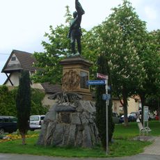
Kriegerdenkmal Worms-Pfeddersheim
2.3 km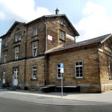
Worms-Pfeddersheim train station
2.2 km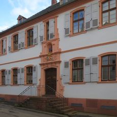
Katholisches Pfarrhaus Worms-Herrnsheim
2.4 km
Pfrimmaue Hochheim / Pfiffligheim
957 mVisited this place? Tap the stars to rate it and share your experience / photos with the community! Try now! You can cancel it anytime.
Discover hidden gems everywhere you go!
From secret cafés to breathtaking viewpoints, skip the crowded tourist spots and find places that match your style. Our app makes it easy with voice search, smart filtering, route optimization, and insider tips from travelers worldwide. Download now for the complete mobile experience.

A unique approach to discovering new places❞
— Le Figaro
All the places worth exploring❞
— France Info
A tailor-made excursion in just a few clicks❞
— 20 Minutes