Enable Location

We need your location to show you interesting places around you

Discover nearby places

Find interesting locations and hidden gems around you

Precise directions

Get accurate directions and distances to places

Your location is never shared with other users. It's only used when you tap the location button.

Osterfelderkopf

Log in to your account

Start exploring — it's free

Trusted by 65,095 travelers worldwide

Continue with Google
Continue with Apple
or

We will send you a code to connect

By continuing, you accept our Terms and Conditions and our Privacy Policy

Check your inbox

We've sent a pincode in your inbox. Please enter the code below.

Osterfelderkopf
Discussion Reviews 1 Photos
5.2k Popularity

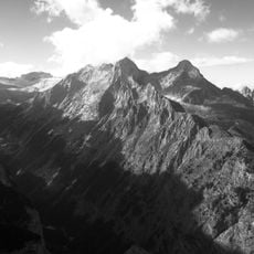
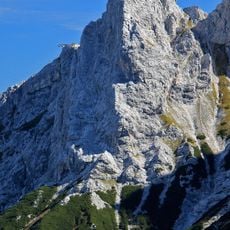
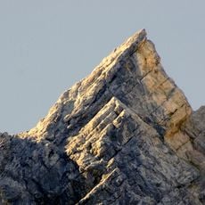
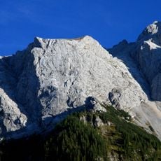
Osterfelderkopf, Alpine summit in Garmisch-Partenkirchen, Germany

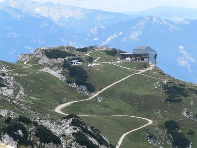
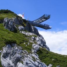
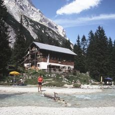
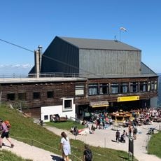
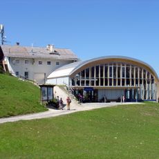
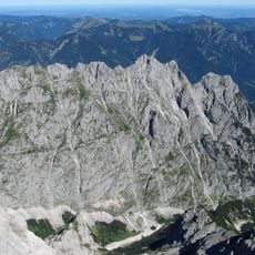
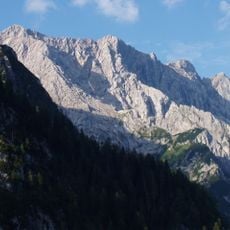
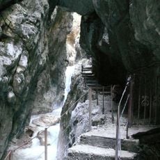
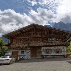
Osterfelderkopf is a mountain summit in the Wetterstein group of the Bavarian Alps, sitting at 7,470 feet (2,057 meters) above Garmisch-Partenkirchen. The upper cable car station, located just below the peak, serves as the main starting point for hiking trails and via ferrata routes into the surrounding terrain.

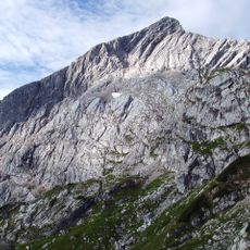
The mountain became more popular among climbers in the second half of the 1800s, when early routes were opened through the Wetterstein range. The cable car, built in the mid-20th century, fundamentally changed how people could reach the upper area, opening the summit to those without climbing experience.

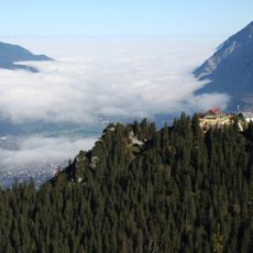
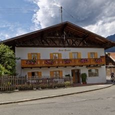
The summit is a meeting point for hikers coming up from Garmisch-Partenkirchen, many of whom continue along the ridge toward the Alpspitze. The cable car station near the top has made the mountain part of everyday life in the region, drawing both locals and visitors throughout the year.

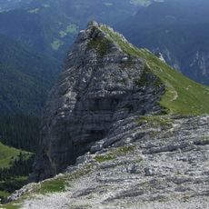
The cable car from Garmisch-Partenkirchen brings visitors up to the station near the top, where most routes begin. Starting in the morning is a good idea, as alpine weather can change quickly after midday and the paths tend to be quieter early in the day.

A small research station located just below the summit collects weather data for the region, adding a scientific dimension that most visitors do not expect to find at a mountain stop. It is part of a network of monitoring stations spread through the Alps used to track alpine weather patterns.

The community of curious travelers

AroundUs brings together thousands of curated places, local tips, and hidden gems, enriched daily by 60,000 contributors worldwide.

Start exploring
Elevation above the sea
2,057 m
GPS coordinates
47.43869,11.04971
Latest update
March 3, 2026 10:06
Reviews
Share your experience

No review yet

Discussions
Start a discussion...

No discussion yet

« Osterfelderkopf - Alpine summit in Garmisch-Partenkirchen, Germany » is provided by Around Us (aroundus.com). Images and texts are derived from Wikimedia project under a Creative Commons license. You are allowed to copy, distribute, and modify copies of this page, under the conditions set by the license, as long as this note is clearly visible.

Discover hidden gems everywhere you go!

From secret cafés to breathtaking viewpoints, skip the crowded tourist spots and find places that match your style. Our app makes it easy with voice search, smart filtering, route optimization, and insider tips from travelers worldwide. Download now for the complete mobile experience.

Around Us App Screenshot

A unique approach to discovering new places

Le Figaro

All the places worth exploring

France Info

A tailor-made excursion in just a few clicks

20 Minutes

Around Us
Travel Guide & Maps
Download

Send to your phone

QR Code
1

Open the camera app on your mobile.

2

Point at the QR code with your camera. A notification will appear.

3

Tap the notification to open the link.