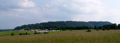
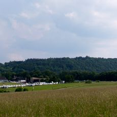
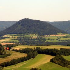
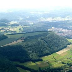
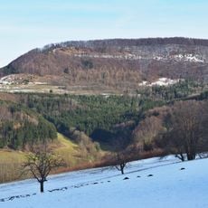
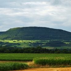
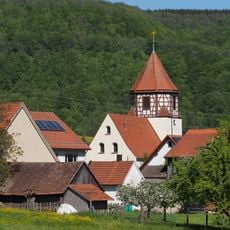
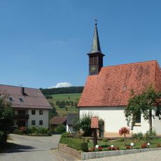
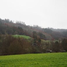
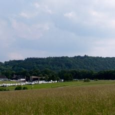
Kaltes Feld mit Hornberg, Galgenberg und Eierberg, Nature reserve in Schwäbisch Gmünd region, Germany.
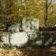
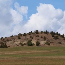
Kaltes Feld mit Hornberg, Galgenberg und Eierberg is a protected nature reserve in the Schwäbisch Gmünd area featuring three distinctive hills. The terrain varies across different elevations and displays different landscape types typical of the Swabian Alb region.
The area was designated as a protected nature reserve by the German government in 1994 to safeguard its importance for local wildlife conservation. This designation recognized the ecological value of the terrain for research and environmental protection.
Local schools and universities use this area as an outdoor classroom for environmental education and research activities throughout the year. You can observe students and teachers with field equipment and notebooks, particularly during the warmer months.
Multiple marked hiking trails connect different parts of the reserve and allow you to explore at your own pace. Information boards at observation points explain the local flora and fauna and help with navigation.
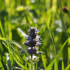
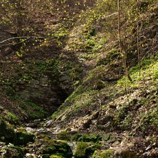
The reserve contains special habitats called Wacholderheiden, juniper heath areas that support specialized plant communities. These sparse slopes with limestone-rich soil support species that are rarely found elsewhere.
The community of curious travelers
AroundUs brings together thousands of curated places, local tips, and hidden gems, enriched daily by 60,000 contributors worldwide.