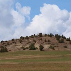
Kaltes Feld, Mountain summit in Baden-Württemberg, Germany.
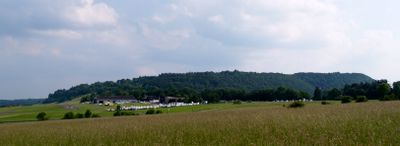
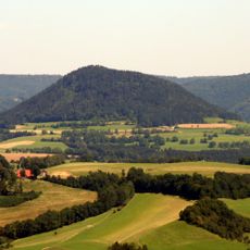
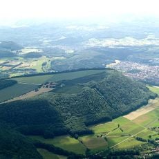
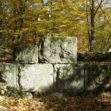
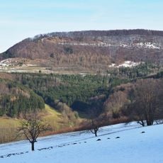
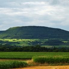
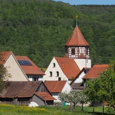
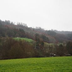
Kaltes Feld is a mountain in the Swabian Jura that rises to about 781 meters and is crossed by several hiking paths approaching from different directions. The terrain shows typical features of this region with limestone rock formations and open areas that offer extended views across the landscape.
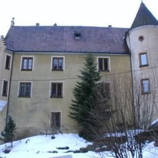
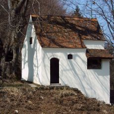
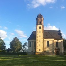
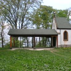
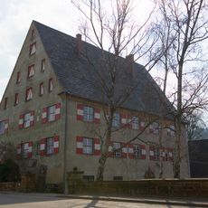
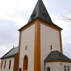
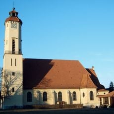
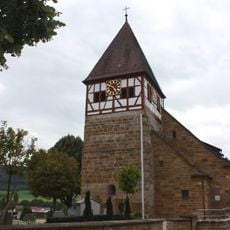
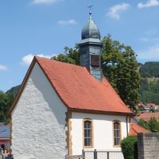
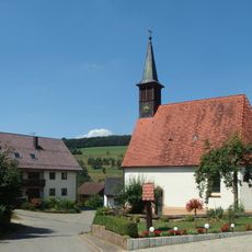
The mountain has served over centuries as a geographical reference point for surrounding communities and shaped how they understood the landscape. Near its slopes, the Reiterleskapelle chapel was built, reflecting the long connection between the peak and local history.
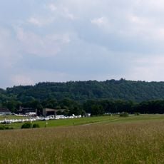
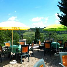
The area attracts hikers and nature lovers who come to experience the open landscape and views from high ground. The location shapes how local people relate to the surrounding countryside and outdoor recreation.
Visitors will find marked paths from several sides leading to the summit, each offering different difficulty levels depending on the starting point. The climb works best in dry weather, and the Villa Maus viewpoint offers views toward the Alps along the way.
The mountain is marked by its isolated position, which sets it distinctly apart from other peaks of similar height and gives it a special topographical feature. This separation makes it a visible turning point in the otherwise gentler landscape of the region.
The community of curious travelers
AroundUs brings together thousands of curated places, local tips, and hidden gems, enriched daily by 60,000 contributors worldwide.