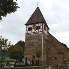
Stuifen, Mountain summit in Baden-Württemberg, Germany.
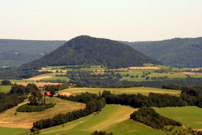
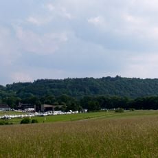
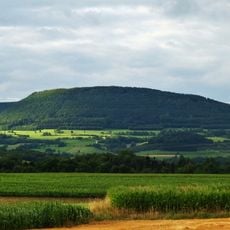
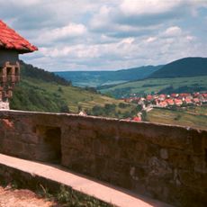
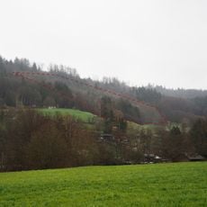
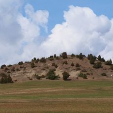
Stuifen is a 757-meter summit within the Drei Kaiserberge range, characterized by dense forests and distinctive limestone rock formations. The terrain displays the typical features of the Swabian highlands with steep forested slopes and exposed stone faces.
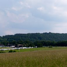
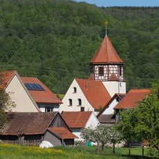
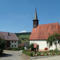
The mountain has served as a navigation landmark since medieval times for travelers and merchants moving between settlements in the Swabian region. Its distinctive shape made it a recognizable point of reference across a heavily forested landscape.
Local hiking clubs organize regular group ascents throughout the year, maintaining traditional summit registers for climbers to record their visits.
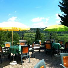
Multiple marked trails lead to the summit from several starting points, with the most direct route beginning at the Rechberg parking area. The path is clearly signposted throughout and requires no special equipment for a typical day hike.
Stuifen forms a natural geometric triangle with two neighboring peaks, a pattern that becomes strikingly visible in satellite imagery. This unusual arrangement has made the trio of mountains recognizable landmarks throughout the region for centuries.
Location: Baden-Württemberg
Elevation above the sea: 757 m
Part of: Drei Kaiserberge
GPS coordinates: 48.74347,9.81863
Latest update: December 10, 2025 20:07
Kaltes Feld
2.5 km
Hohenrechberg Castle
3 km
Reiterleskapelle
2 km
St. Maria
2.6 km
Kaltes Feld mit Hornberg, Galgenberg und Eierberg
3.2 km
St. Bernhardus
4.9 km
Burg Granegg
2.2 km
Schloss Winzingen
3.6 km
Dreifaltigkeitskapelle
5 km
Church of the Resurrection
4.6 km
Ottilienkirche (Bettringen)
5 km
Straßdorf Alte Kirche
4.4 km
Saint Cyriacus Church
4 km
St.-Michaels-Kirche
5.2 km
Bernhardus
5.1 km
Friedhofskapelle
4.9 km
Haltepunkt Schwäbisch Gmünd Süd
5.6 km
Rehgebirge und Pfuhlbach
5.2 km
St. Sebastian und Walburga
4.8 km
Marienkapelle
5 km
Hohenrechberg
3 km
Heldenberg
3.2 km
St. Petrus
5.3 km
Hohenstaufen, Rechberg, Stuifen mit Aasrücken und Rehgebirge (Kaiserberge)
1.5 km
Bergrutschung Tannenwald
3.1 km
Hohenstaufen, Rechberg, Stuifen mit Aasrücken und Rehgebirge
4.9 km
Schönberg
1.2 km
1 Linde bei Straßdorf
5.2 kmVisited this place? Tap the stars to rate it and share your experience / photos with the community! Try now! You can cancel it anytime.
Discover hidden gems everywhere you go!
From secret cafés to breathtaking viewpoints, skip the crowded tourist spots and find places that match your style. Our app makes it easy with voice search, smart filtering, route optimization, and insider tips from travelers worldwide. Download now for the complete mobile experience.
A unique approach to discovering new places❞
— Le Figaro
All the places worth exploring❞
— France Info
A tailor-made excursion in just a few clicks❞
— 20 Minutes