
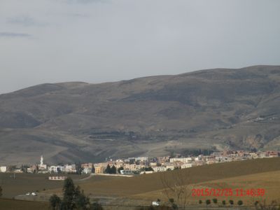
Beni Fouda, municipality of Algeria
Location: Djémila District
Elevation above the sea: 1,400 m
GPS coordinates: 36.28607,5.60715
Latest update: June 18, 2025 05:28
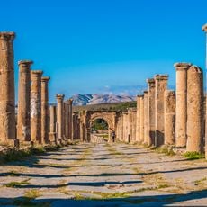
Djemila
12.2 km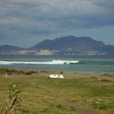
Yemma Gouraya
71.6 km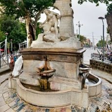
Ain El Fouara Fountain
21.1 km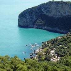
Gouraya National Park
70.1 km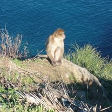
Taza National Park
46.3 km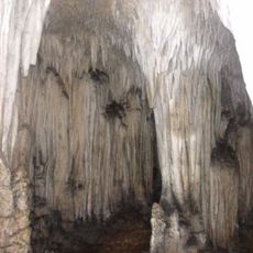
La Grotte Merveilleuse
44.9 km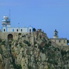
Carbon Cape Lighthouse
70.8 km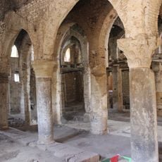
Sidi Ghanem Mosque
62.3 km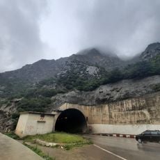
Kherrata Tunnel
38.2 km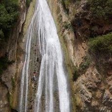
Kefrida Waterfall
42.5 km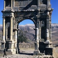
Arch of Caracalla
12.1 km
Setifis
21.8 km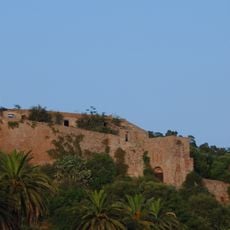
Casbah of Béjaïa
69.8 km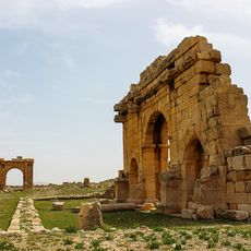
Diana Veteranorum
70.4 km
Milevum
62 km
El Mokrani Fort
79.4 km
Hammam Ouled Tebben
70.6 km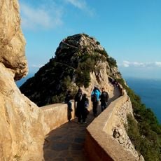
Monkeys Peak
70.6 km
Sétif Museum
20.6 km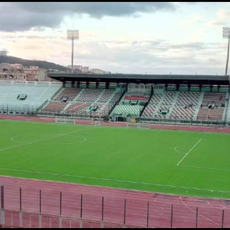
Rouibah Hocine Stadium
60.8 km
Stade 20 Août 1955
79.4 km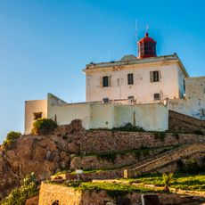
Ras Afia lighthouse
59.6 km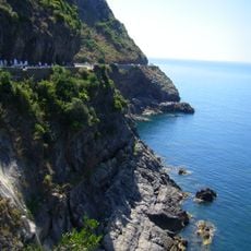
Corniche Jijelienne
61.9 km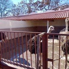
Zoo de Sétif
20.7 km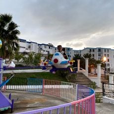
Mini-parc d’attraction Oumnia
60.2 km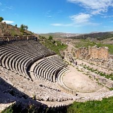
Roman theatre of Cuicul
12.3 km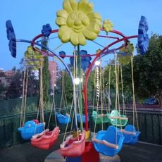
PARC D'ATTRACTION EN CONSTRUCTION
61.4 km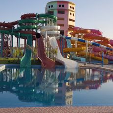
Parc d'attraction
78.5 kmReviews
Visited this place? Tap the stars to rate it and share your experience / photos with the community! Try now! You can cancel it anytime.
Discover hidden gems everywhere you go!
From secret cafés to breathtaking viewpoints, skip the crowded tourist spots and find places that match your style. Our app makes it easy with voice search, smart filtering, route optimization, and insider tips from travelers worldwide. Download now for the complete mobile experience.

A unique approach to discovering new places❞
— Le Figaro
All the places worth exploring❞
— France Info
A tailor-made excursion in just a few clicks❞
— 20 Minutes