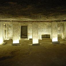
Geography of Egypt, Geographical region at northeastern Africa.
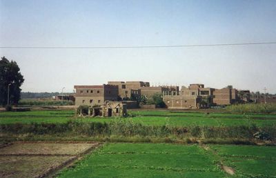
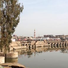
The geography of Egypt is a region in northeastern Africa stretching from the Mediterranean coast down to Sudan and from the Red Sea westward to the Libyan border. The Nile Valley cuts through the landscape from south to north, forming a narrow green corridor between vast sand deserts and rocky plateaus to the west and east.
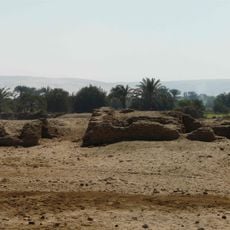
The river formed this landscape over thousands of years through annual floods that deposited fertile silt and made farming possible. Construction of the Aswan High Dam in the 1960s ended this natural pattern and created a new lake that extends far to the south.
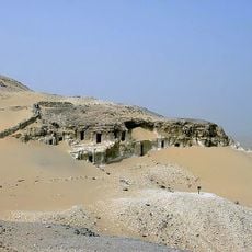
Local people call their country Masr, while the name Egypt comes from ancient Greek usage. Most residents live close to the river or near the coasts, leaving the interior deserts almost empty except for scattered oases where small communities farm dates and olives.
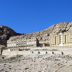
Travelers can move easily from the green river region into the desert areas, though summer temperatures inland often climb above 104 degrees Fahrenheit (40 degrees Celsius). Coastal regions along the Mediterranean and Red Sea offer milder conditions and are more accessible in any season.
The delta spreads like an open fan and divides into several branches before reaching the Mediterranean. This shape has changed over centuries, and some of the old mouths are now silted up or visible only as dry channels.
The community of curious travelers
AroundUs brings together thousands of curated places, local tips, and hidden gems, enriched daily by 60,000 contributors worldwide.